58 km | 74 km-effort
Pauparelle
ilur56
Gebruiker
Lengte
13,1 km
Max. hoogte
1029 m
Positief hoogteverschil
543 m
Km-Effort
20 km
Min. hoogte
700 m
Negatief hoogteverschil
541 m
Boucle
Ja
Datum van aanmaak :
2014-12-10 00:00:00.0
Laatste wijziging :
2014-12-10 00:00:00.0
4h16
Moeilijkheid : Medium
Gratisgps-wandelapplicatie
Over ons
Tocht Stappen van 13,1 km beschikbaar op Occitanië, Lozère, Meyrueis. Deze tocht wordt voorgesteld door ilur56.
Beschrijving
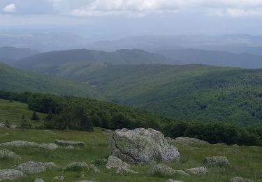
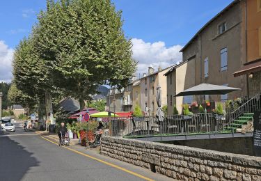
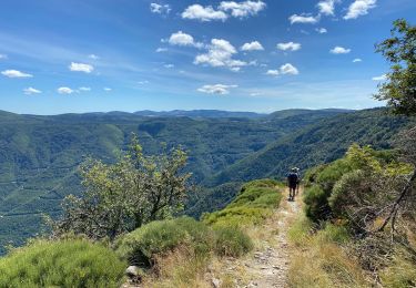
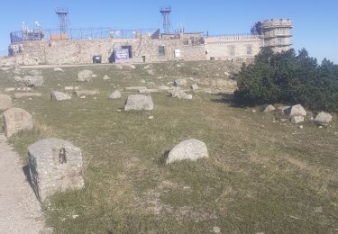
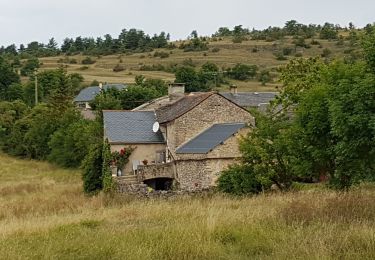
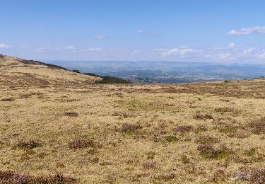
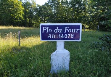
Du camping de la Cascade à Savinsac jusqu'au bourg de Meyrueis
Plaatsbepaling
Land:
France
Regio :
Occitanië
Departement/Provincie :
Lozère
Gemeente :
Meyrueis
Locatie:
Unknown
Vertrek:(Dec)
Vertrek:(UTM)
534396 ; 4891922 (31T) N.
Opmerkingen
Wandeltochten in de omgeving
Meyrues à observatoire Mont Aigoual
Stappen
Moeilijk
Meyrueis,
Occitanië,
Lozère,
France
21 km | 0 m-effort
5h 58min
Neen
Sentier du Château de Roquedols
Te voet
Gemakkelijk
Meyrueis,
Occitanië,
Lozère,
France
5 km | 6,9 km-effort
1h 33min
Ja
Meyruis L’Esperou 26 km - Tour du mont Aigual étape 3
Stappen
Moeilijk
Meyrueis,
Occitanië,
Lozère,
France
28 km | 41 km-effort
9h 0min
Neen
cause noir mai 2020
Mountainbike
Gemakkelijk
(1)
Meyrueis,
Occitanië,
Lozère,
France
36 km | 44 km-effort
4h 37min
Ja
meyrues l'esperouvia le mont aigoual
Stappen
Moeilijk
Meyrueis,
Occitanië,
Lozère,
France
31 km | 46 km-effort
8h 54min
Neen
Meyruies - Gorges de la Jonte - Grotte de Dagilan
Stappen
Medium
Meyrueis,
Occitanië,
Lozère,
France
15,2 km | 21 km-effort
4h 25min
Ja
Tour du Causse Méjean - Etape5
Stappen
Moeilijk
Meyrueis,
Occitanië,
Lozère,
France
27 km | 40 km-effort
8h 51min
Neen