


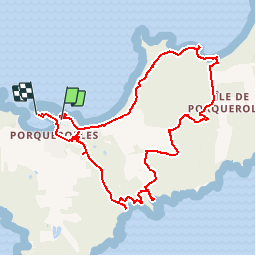

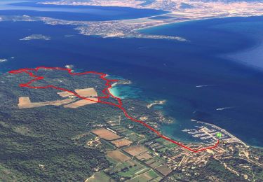
11,9 km | 14,2 km-effort


Gebruiker


Gratisgps-wandelapplicatie
 SityTrail
IGN / Geografische instituten
SityTrail World
De wereld gaat voor u open
Tocht Stappen van 11,6 km beschikbaar op Provence-Alpes-Côte d'Azur, Var, Hyères. Deze tocht wordt voorgesteld door alpha-pyxidis.
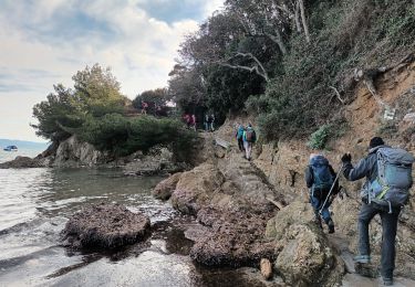
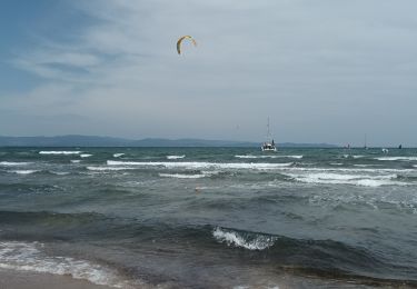
Belle randonnée à faire fin Avril - début Mai pour profiter de la flore méditerranéenne.Détails et photos : porquerolles-calanque-de-l-oustau-de-dieu

Stappen

Stappen

Mountainbike

Stappen

Stappen
Te voet
Stappen
Stappen
Stappen