


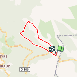


9,5 km | 13,3 km-effort


Gebruiker


Gratisgps-wandelapplicatie
 SityTrail
IGN / Geografische instituten
SityTrail World
De wereld gaat voor u open
Tocht Sneeuwschoenen van 4,8 km beschikbaar op Auvergne-Rhône-Alpes, Puy-de-Dôme, Valcivières. Deze tocht wordt voorgesteld door julien36.
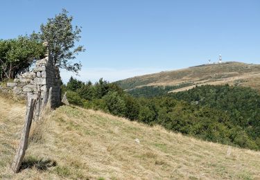
Randonnée en raquette, a la découverte des Hautes chaumes du Forez en passant par une magnifique hêtraie sapinière.

Stappen

Stappen

Te voet

Te voet
Te voet

Paard
Stappen

Stappen
Te voet