


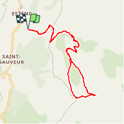

20 km | 34 km-effort

Gebruiker


Gratisgps-wandelapplicatie
 SityTrail
IGN / Geografische instituten
SityTrail World
De wereld gaat voor u open
Tocht Stappen van 12,5 km beschikbaar op Provence-Alpes-Côte d'Azur, Alpes-Maritimes, Entraunes. Deze tocht wordt voorgesteld door PEBREJOSIANE.
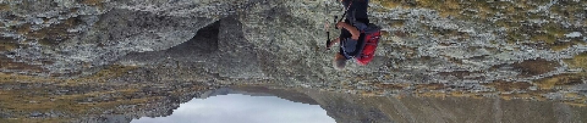
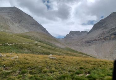
Superbe randonnée alpine, formations gréseuses spectaculaires. Dernière partie dans des eboulis puis petite escalade pour le sommet


Stappen

Stappen

Te voet

Te voet

Te voet

Stappen

Te voet
Stappen
Stappen
Départ aux Louiqs 1682m et Roche grande 2752mD+ et D- 1100m