


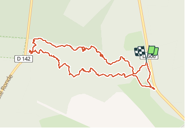


18 km | 22 km-effort


Gebruiker


Gratisgps-wandelapplicatie
 SityTrail
IGN / Geografische instituten
SityTrail World
De wereld gaat voor u open
Tocht Stappen van 5,6 km beschikbaar op Île-de-France, Seine-et-Marne, Fontainebleau. Deze tocht wordt voorgesteld door randodan.
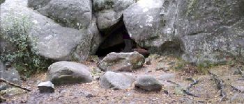
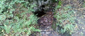
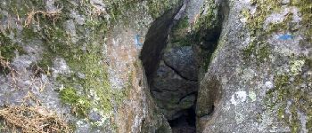
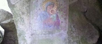
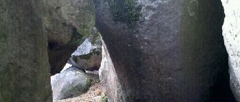
Les Gais Lurons du Mercredi . 26 septembre 2012 ap.midi . Départ parking Cabaret Masson . Denecourt 4 (Rocher St-Germain), aller par le Nord, retour par le Sud . Nombreux rochers et passages remarquables .
3 participants .


Stappen

Stappen

Stappen

Stappen

Stappen

Stappen

Te voet
Stappen

Te voet