


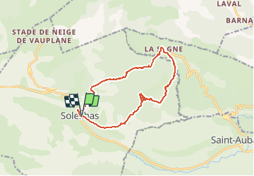

17 km | 28 km-effort


Gebruiker


Gratisgps-wandelapplicatie
 SityTrail
IGN / Geografische instituten
SityTrail World
De wereld gaat voor u open
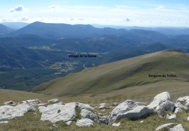
Tocht Stappen van 16,5 km beschikbaar op Provence-Alpes-Côte d'Azur, Alpes-de-Haute-Provence, Soleilhas. Deze tocht wordt voorgesteld door cswilly.
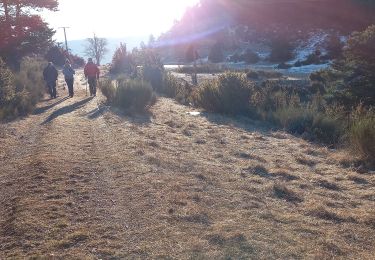
Nous avons cherché le chemin 300m après St Pierre. Juste avant la cascade le chemin monte les rochers (marqués en jaune et orange) pour surplomber la cascade. Il faudrait donc enlever 30 minutes, 0,8km et 80m.
Stappen
Stappen
Stappen
Stappen
Te voet

Mountainbike
Stappen
Stappen

Stappen
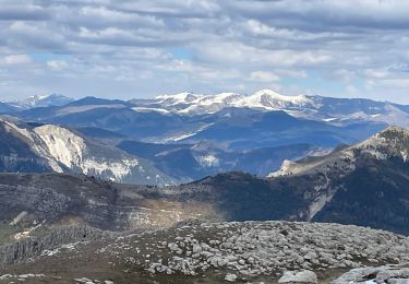
Superbe