14,5 km | 21 km-effort
Petit Tour du Mont Bouquet
jmheydorff
Gebruiker
Lengte
9,4 km
Max. hoogte
625 m
Positief hoogteverschil
377 m
Km-Effort
14,5 km
Min. hoogte
372 m
Negatief hoogteverschil
388 m
Boucle
Ja
Datum van aanmaak :
2014-12-10 00:00:00.0
Laatste wijziging :
2014-12-10 00:00:00.0
--
Moeilijkheid : Heel gemakkelijk
Gratisgps-wandelapplicatie
Over ons
Tocht Stappen van 9,4 km beschikbaar op Occitanië, Gard, Seynes. Deze tocht wordt voorgesteld door jmheydorff.
Beschrijving
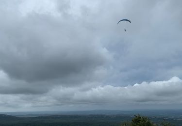
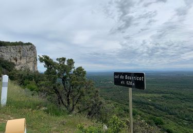
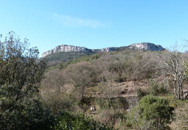
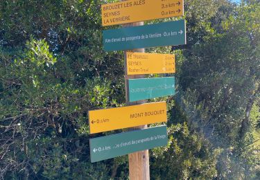
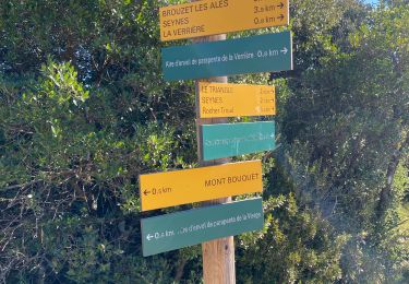
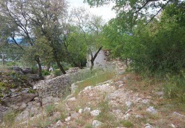
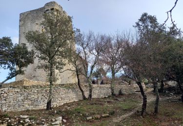
Pkg en haut du Mont Bouquet (Communes de Seynes). Faire la ligne de crête,en quasi AR, vers le Nord (6 kms) et/ou vers le Sud (3 kms)
Plaatsbepaling
Land:
France
Regio :
Occitanië
Departement/Provincie :
Gard
Gemeente :
Seynes
Locatie:
Unknown
Vertrek:(Dec)
Vertrek:(UTM)
602792 ; 4887094 (31T) N.
Opmerkingen
Wandeltochten in de omgeving
Mont Bouquet au départ de Bouquet
Stappen
Moeilijk
Bouquet,
Occitanië,
Gard,
France
17 km | 26 km-effort
5h 11min
Ja
Le tour du Mont Bouquet
Stappen
Gemakkelijk
Seynes,
Occitanië,
Gard,
France
10,2 km | 15,3 km-effort
3h 28min
Ja
Le Puech boucle au nord du Mt Bouquet
Stappen
Medium
Bouquet,
Occitanië,
Gard,
France
10,9 km | 15,2 km-effort
3h 28min
Ja
Mont Bouquet
Stappen
Moeilijk
Brouzet-lès-Alès,
Occitanië,
Gard,
France
11 km | 16,6 km-effort
10h 30min
Ja
Mont Bouquet depuis Brouzet les Alès
Stappen
Moeilijk
Brouzet-lès-Alès,
Occitanië,
Gard,
France
11 km | 16,6 km-effort
4h 22min
Ja
Seynes et la grotte des 3 ours
Stappen
Medium
Seynes,
Occitanië,
Gard,
France
16,1 km | 24 km-effort
5h 25min
Ja