


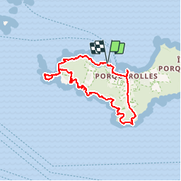


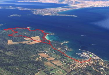
11,9 km | 14,2 km-effort


Gebruiker


Gratisgps-wandelapplicatie
 SityTrail
IGN / Geografische instituten
SityTrail World
De wereld gaat voor u open
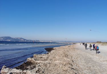
Tocht Stappen van 16 km beschikbaar op Provence-Alpes-Côte d'Azur, Var, Hyères. Deze tocht wordt voorgesteld door wallander76.
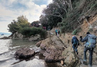
Superbe marche avec mon ami Jules. Nous avons fait le tour du tiers ouest de l'Ile de Porquerolles. Des points de vue somptueux et une alternance entre les rochers et des chemins dans des tunnels de végétation.


Stappen

Stappen

Mountainbike

Stappen

Stappen
Te voet
Stappen
Stappen
Stappen