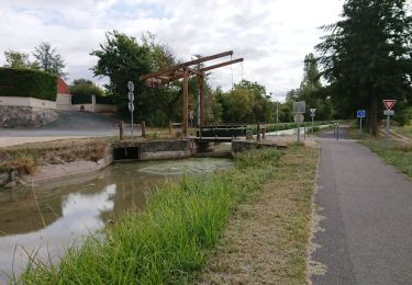
28 km | 31 km-effort
virlay
alainjol
Gebruiker
Lengte
22 km
Max. hoogte
171 m
Positief hoogteverschil
164 m
Km-Effort
24 km
Min. hoogte
145 m
Negatief hoogteverschil
164 m
Boucle
Ja
Datum van aanmaak :
2014-12-10 00:00:00.0
Laatste wijziging :
2014-12-10 00:00:00.0
1h36
Moeilijkheid : Gemakkelijk
Gratisgps-wandelapplicatie
Over ons
Tocht Mountainbike van 22 km beschikbaar op Centre-Val de Loire, Cher, Farges-Allichamps. Deze tocht wordt voorgesteld door alainjol.
Beschrijving
terrain mixte
Plaatsbepaling
Land:
France
Regio :
Centre-Val de Loire
Departement/Provincie :
Cher
Gemeente :
Farges-Allichamps
Locatie:
Unknown
Vertrek:(Dec)
Vertrek:(UTM)
456105 ; 5179454 (31T) N.
Opmerkingen
Wandeltochten in de omgeving
saint amand montrond vallon
Hybride fiets
Heel gemakkelijk
Orval,
Centre-Val de Loire,
Cher,
France
1h 27min
Neen
Tour du lac de Virlay
Mountainbike
Heel gemakkelijk
Saint-Amand-Montrond,
Centre-Val de Loire,
Cher,
France
5,9 km | 6,2 km-effort
33min
Ja
Bruere - Meillant ( bois)
Fiets
Gemakkelijk
Farges-Allichamps,
Centre-Val de Loire,
Cher,
France
21 km | 24 km-effort
1h 40min
Ja
Meillant (bois de)
Fiets
Medium
Farges-Allichamps,
Centre-Val de Loire,
Cher,
France
19,9 km | 23 km-effort
1h 40min
Ja
bois de meillant
Fiets
Gemakkelijk
(1)
Farges-Allichamps,
Centre-Val de Loire,
Cher,
France
18 km | 20 km-effort
1h 29min
Ja
Autour de Farges
Fiets
Gemakkelijk
Farges-Allichamps,
Centre-Val de Loire,
Cher,
France
14,2 km | 16,1 km-effort
1h 18min
Ja
Le Clos Saint-Martin à Vallenay
Stappen
Medium
Vallenay,
Centre-Val de Loire,
Cher,
France
9,1 km | 10,2 km-effort
2h 19min
Ja
randonnée dt amand
Stappen
Gemakkelijk
Saint-Amand-Montrond,
Centre-Val de Loire,
Cher,
France
20 km | 23 km-effort
3h 8min
Ja
tour du lac au noirlac
Stappen
Heel gemakkelijk
Saint-Amand-Montrond,
Centre-Val de Loire,
Cher,
France
3,8 km | 4 km-effort
53min
Ja