8,9 km | 19,8 km-effort
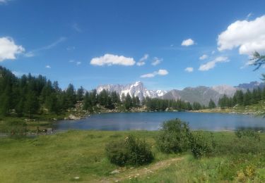
Lac d'arpy
lebail.frederic
Gebruiker
Lengte
12,5 km
Max. hoogte
2565 m
Positief hoogteverschil
919 m
Km-Effort
25 km
Min. hoogte
1676 m
Negatief hoogteverschil
907 m
Boucle
Ja
Datum van aanmaak :
2014-12-10 00:00:00.0
Laatste wijziging :
2014-12-10 00:00:00.0
--
Moeilijkheid : Medium
Gratisgps-wandelapplicatie
Over ons
Tocht Stappen van 12,5 km beschikbaar op Valle d'Aosta, Onbekend, Morgex. Deze tocht wordt voorgesteld door lebail.frederic.
Beschrijving
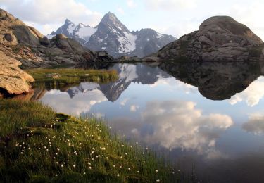
lac d'arpy et lac di pietra rossa
Plaatsbepaling
Land:
Italy
Regio :
Valle d'Aosta
Departement/Provincie :
Onbekend
Gemeente :
Morgex
Locatie:
Unknown
Vertrek:(Dec)
Vertrek:(UTM)
345297 ; 5067922 (32T) N.
Opmerkingen
Wandeltochten in de omgeving
Alta Via n. 2 della Valle d'Aosta - Tappa 3
Te voet
Gemakkelijk
La Thuile,
Valle d'Aosta,
Onbekend,
Italy
4h 30min
Neen
Alta Via n. 2 della Valle d'Aosta - Tappa 1
Te voet
Moeilijk
Courmayeur,
Valle d'Aosta,
Onbekend,
Italy
15,2 km | 32 km-effort
7h 15min
Neen
(SI F08) Courmayeur - Rifugio Bonatti
Te voet
Medium
Courmayeur,
Valle d'Aosta,
Onbekend,
Italy
11,9 km | 24 km-effort
5h 22min
Neen
(SI F06) La Thuile - Rifugio Elisabetta
Te voet
Medium
La Thuile,
Valle d'Aosta,
Onbekend,
Italy
17 km | 31 km-effort
6h 57min
Neen
arpy . lac d arpy . arpy 2h50
Stappen
Heel gemakkelijk
Morgex,
Valle d'Aosta,
Onbekend,
Italy
10,3 km | 16,1 km-effort
3h 36min
Ja
Itinerario 16 Col San Carlo Colle Della Croce
Te voet
Gemakkelijk
Morgex,
Valle d'Aosta,
Onbekend,
Italy
5,4 km | 6,9 km-effort
1h 34min
Neen
TMB 05 - Courmayeur -> Arnouva (chalet du Val Ferret)
Stappen
Moeilijk
Courmayeur,
Valle d'Aosta,
Onbekend,
Italy
17,6 km | 32 km-effort
6h 59min
Neen
Lac d'Arpy et le lac Di Pietra Rossa...
Stappen
Zeer moeilijk
Morgex,
Valle d'Aosta,
Onbekend,
Italy
15,3 km | 28 km-effort
5h 37min
Ja