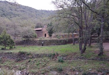
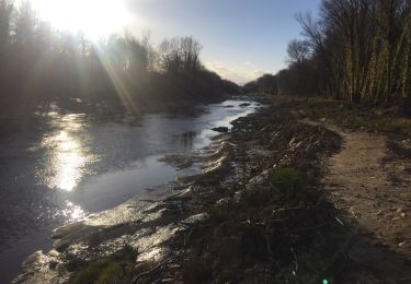
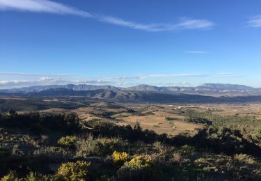
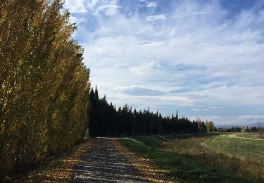
Tocht Stappen Corneilla-la-Rivière - 05 aout 2012 - Photo
 ghislaincouppey
ghislaincouppey

Gebruiker

© OpenStreetMap contributors
Lengte
Lengte
4,9 km
Max. hoogte
Max. hoogte
233 m
Positief hoogteverschil
164 m
Km-Effort
Km-Effort  
6,6 km
Min. hoogte
Min. hoogte
86 m
Negatief hoogteverschil
36 m
Boucle
Boucle
Neen
Datum van aanmaak :
2014-12-10 00:00:00.0
Laatste wijziging :
2014-12-10 00:00:00.0

(0 Bericht)

Stappen
Stappen
1h07
Moeilijkheid : Heel gemakkelijk

Scan deze QR-code om de tocht te openen in de SityTrail-applicatie

Gratisgps-wandelapplicatie

Logo SityTrail SityTrail

IGN / Geografische instituten

SityTrail uit de App Store downloaden SityTrail uit Google Play downloaden

Logo SityTrail SityTrail World

De wereld gaat voor u open

SityTrail uit de App Store downloaden SityTrail uit Google Play downloaden SityTrail op Huawei AppGallery downloaden

Over ons

Tocht Stappen van 4,9 km beschikbaar op Occitanië, Pyrénées-Orientales, Corneilla-la-Rivière. Deze tocht wordt voorgesteld door ghislaincouppey.

Hoogteprofiel

Plaatsbepaling

Land:
France
Regio :
Occitanië
Departement/Provincie :
Pyrénées-Orientales
Gemeente :
Corneilla-la-Rivière
Locatie:
Unknown
Vertrek:(Dec)
Vertrek:(UTM)
477866 ; 4727269 (31T) N.

Wandeltochten in de omgeving

Tocht Te voet Corneilla-la-Rivière - Sentier Lambert Narach - Photo
Te voet
GUIDE+

Te voet

Gemakkelijk
Corneilla-la-Rivière, Occitanië, Pyrénées-Orientales, France
6,7 km | 11,4 km-effort
2h 35min
Neen
Tocht Stappen Corneilla-la-Rivière - 20240316 Corneilla la rivière  - Photo
Stappen
ThonyM

Stappen

Medium
Corneilla-la-Rivière, Occitanië, Pyrénées-Orientales, France
19 km | 28 km-effort
4h 31min
Ja
Tocht Stappen Millas - millas n'efface millas fait le 27 02 2023 - Photo
Stappen
66Gribouille83

Stappen

Medium
Millas, Occitanië, Pyrénées-Orientales, France
8,3 km | 9 km-effort
2h 33min
Ja
Tocht Lopen Saint-Féliu-d'Avall - Boucle St Feliu Amont -Ill sur Tête  - Photo
Lopen
zazie

Lopen

Medium
(1)
Saint-Féliu-d'Avall, Occitanië, Pyrénées-Orientales, France
23 km | 25 km-effort
2h 8min
Neen
Tocht Stappen Saint-Féliu-d'Avall - 66 ST-FELIU-D'AVALL, CORNEILLA DE LA RIVIERE, promenade autour de la Têt - Photo
Stappen
jeff66

Stappen

Gemakkelijk
Saint-Féliu-d'Avall, Occitanië, Pyrénées-Orientales, France
6,6 km | 7 km-effort
1h 16min
Ja
Tocht Stappen Montner - 66 FORÇA RÉAL, jardin botanique, boucle versant Nord, MONTNER - Photo
Stappen
jeff66

Stappen

Medium
(1)
Montner, Occitanië, Pyrénées-Orientales, France
6,9 km | 11,1 km-effort
1h 33min
Ja
Tocht Stappen Pézilla-la-Rivière - 66 CORNEILLA-LA-RIVIERE, promenade sur les hauteurs vallonnées, entre vignes et parc éolien  - Photo
Stappen
jeff66

Stappen

Medium
(1)
Pézilla-la-Rivière, Occitanië, Pyrénées-Orientales, France
8,3 km | 9,5 km-effort
1h 31min
Ja
Tocht Stappen Le Soler - 66 LE SOLER - ST FELIU D'AVALL, promenade le long du Rau du SOLER et de la rivière de CASTELNOU entre canaux et vergers - Photo
Stappen
jeff66

Stappen

Gemakkelijk
Le Soler, Occitanië, Pyrénées-Orientales, France
9,8 km | 10,4 km-effort
1h 39min
Ja
Tocht Stappen Pézilla-la-Rivière - 66 PEZILLA-la-Riviere - VILLENEUVE-la-riviere - LE SOLER - vallée de la TÊT - Photo
Stappen
jeff66

Stappen

Medium
Pézilla-la-Rivière, Occitanië, Pyrénées-Orientales, France
15,9 km | 17,3 km-effort
2h 44min
Ja


Sluiten
Mijn abonnementen