


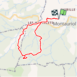


11,9 km | 17,5 km-effort


Gebruiker


Gratisgps-wandelapplicatie
 SityTrail
IGN / Geografische instituten
SityTrail World
De wereld gaat voor u open
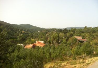
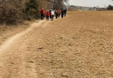
Tocht Stappen van 8,4 km beschikbaar op Occitanië, Pyrénées-Orientales, Montauriol. Deze tocht wordt voorgesteld door prehault.
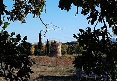
Petit circuit assez facile à partir de Montauriol. En plus des arbres, des fleurs et des papillons, on voit une chapelle et les ruines d'un petit château.


Stappen

Stappen
Stappen
Stappen
Stappen

Stappen
Stappen

Stappen
Stappen