14,4 km | 19,3 km-effort
sentier du rocher de sallele
olivier78000
Gebruiker
Lengte
12,2 km
Max. hoogte
459 m
Positief hoogteverschil
394 m
Km-Effort
17,5 km
Min. hoogte
159 m
Negatief hoogteverschil
396 m
Boucle
Ja
Datum van aanmaak :
2014-12-10 00:00:00.0
Laatste wijziging :
2014-12-10 00:00:00.0
3h44
Moeilijkheid : Medium
Gratisgps-wandelapplicatie
Over ons
Tocht Stappen van 12,2 km beschikbaar op Occitanië, Gard, Soustelle. Deze tocht wordt voorgesteld door olivier78000.
Beschrijving
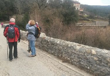
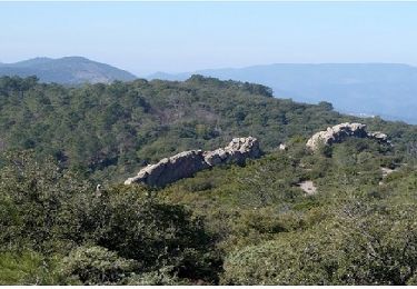
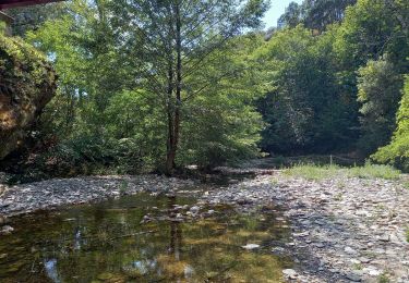
superbe randonnée. passages parfois délicats mais se fait bien.
Plaatsbepaling
Land:
France
Regio :
Occitanië
Departement/Provincie :
Gard
Gemeente :
Soustelle
Locatie:
Unknown
Vertrek:(Dec)
Vertrek:(UTM)
580935 ; 4891788 (31T) N.
Opmerkingen
Wandeltochten in de omgeving
Galeizon rando semi aquatique
Stappen
Medium
(1)
Saint-Martin-de-Boubaux,
Occitanië,
Lozère,
France
5h 4min
Ja
Le Roubarbel Le Galaizon
Stappen
Moeilijk
Soustelle,
Occitanië,
Gard,
France
11,7 km | 17,1 km-effort
3h 16min
Neen
Vallée du Galeizon et crétes de Moncalm
Stappen
Moeilijk
Cendras,
Occitanië,
Gard,
France
20 km | 29 km-effort
5h 33min
Ja
St Paul la Coste
Stappen
Moeilijk
Saint-Paul-la-Coste,
Occitanië,
Gard,
France
22 km | 32 km-effort
4h 58min
Ja
les hauts de cendras
Stappen
Gemakkelijk
Cendras,
Occitanië,
Gard,
France
8,3 km | 11,7 km-effort
2h 34min
Ja
vallée Galeizon
Stappen
Medium
Soustelle,
Occitanië,
Gard,
France
10,5 km | 15,2 km-effort
3h 51min
Neen
Cendras, Saint Paul la Coste
Stappen
Medium
Cendras,
Occitanië,
Gard,
France
22 km | 34 km-effort
7h 29min
Ja
Le Moncalm en partant d'Alès
Stappen
Moeilijk
Alès,
Occitanië,
Gard,
France
14,3 km | 22 km-effort
5h 0min
Ja