


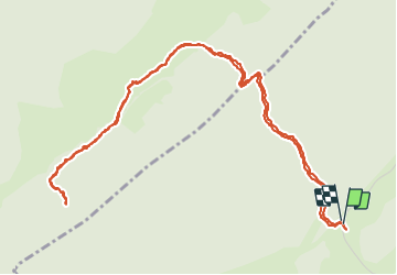

15,1 km | 21 km-effort


Gebruiker


Gratisgps-wandelapplicatie
 SityTrail
IGN / Geografische instituten
SityTrail World
De wereld gaat voor u open
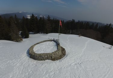
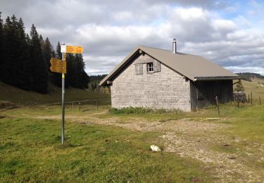
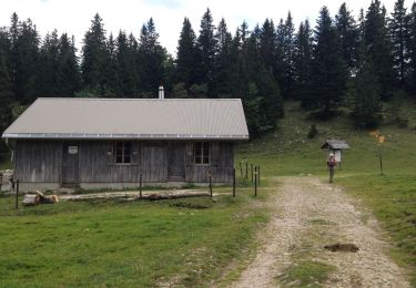
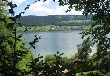
Tocht Stappen van 6,9 km beschikbaar op Waadland, District de Nyon, Bassins. Deze tocht wordt voorgesteld door tonymeyer.
Laisser la voiture là où la route de la montagne tourne à droite pour prendre le combe des Ambournex.
On peut prolonger par le Bois des Loges pour aller à la fromagerie des Loges.

Stappen

Stappen

Stappen

Stappen

Te voet
Te voet
Stappen
Stappen
Fiets