


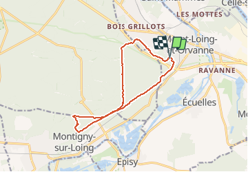


17,3 km | 20 km-effort

Gebruiker


Gratisgps-wandelapplicatie
 SityTrail
IGN / Geografische instituten
SityTrail World
De wereld gaat voor u open
Tocht Stappen van 12,7 km beschikbaar op Île-de-France, Seine-et-Marne, Moret-Loing-et-Orvanne. Deze tocht wordt voorgesteld door randodan.
Mercredi matin
Mon GPS étant défaillant, j'ai copié ici la trace GPS de Jean-Claude.
Zamet, Larchant-Moret, pause à la Table du Roi.
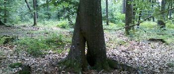
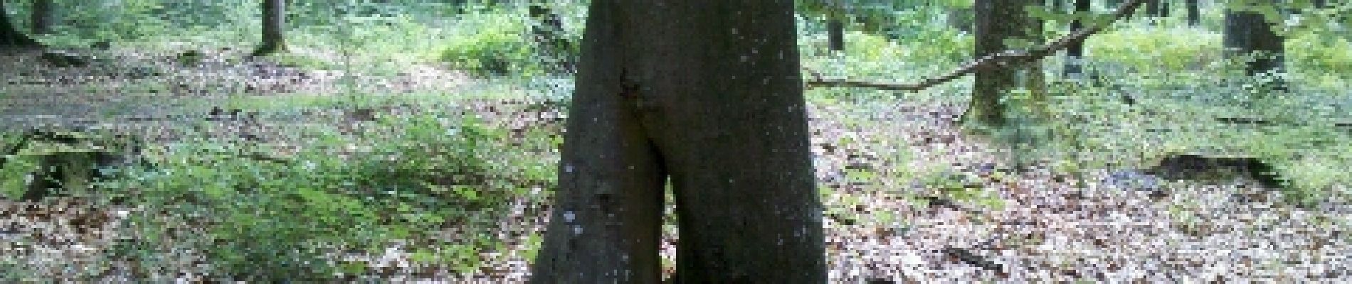
Jean nous fait découvrir la Roche à Boule.
Retour Gde Vallée... Montrichard.
9 participants


Stappen

Stappen

Stappen

Stappen

Stappen

Te voet

Te voet

Te voet

Te voet