


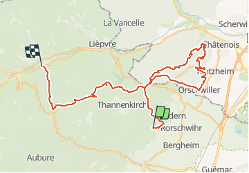

19,3 km | 24 km-effort


Gebruiker


Gratisgps-wandelapplicatie
 SityTrail
IGN / Geografische instituten
SityTrail World
De wereld gaat voor u open
Tocht Stappen van 38 km beschikbaar op Grand Est, Haut-Rhin, Bergheim. Deze tocht wordt voorgesteld door fab68470.
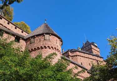
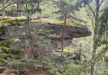
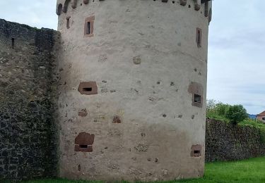
Bergheim, haut Koenigsbourg, Orschwiller, Chateau de Kintzheim, Hannenberg, Spitzenberg, Rocher des geants, Rocher des reptilesRocher des trois tables, Croix de Ribeauvillé, Ste Marie aux Mines

Mountainbike
Stappen

Stappen

Stappen
Stappen
Stappen

sport
Stappen

Stappen