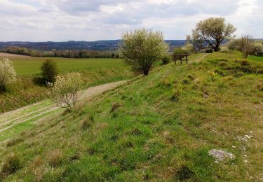
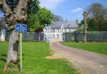
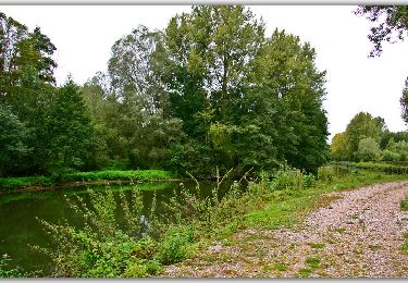
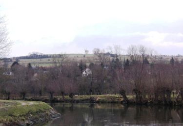
10,6 km | 11,8 km-effort
GR123 Picquigny Abbeville
hagan
Gebruiker
Lengte
56 km
Max. hoogte
114 m
Positief hoogteverschil
626 m
Km-Effort
64 km
Min. hoogte
3 m
Negatief hoogteverschil
628 m
Boucle
Neen
Datum van aanmaak :
2014-12-10 00:00:00.0
Laatste wijziging :
2014-12-10 00:00:00.0
--
Moeilijkheid : Medium
Gratisgps-wandelapplicatie
Over ons
Tocht Stappen van 56 km beschikbaar op Hauts-de-France, Somme, Picquigny. Deze tocht wordt voorgesteld door hagan.
Plaatsbepaling
Land:
France
Regio :
Hauts-de-France
Departement/Provincie :
Somme
Gemeente :
Picquigny
Locatie:
Unknown
Vertrek:(Dec)
Vertrek:(UTM)
438386 ; 5532921 (31U) N.
Opmerkingen
Wandeltochten in de omgeving
Circuit de Belloy - La Chaussée-Tirancourt
Stappen
Medium
(2)
La Chaussée-Tirancourt,
Hauts-de-France,
Somme,
France
2h 40min
Ja
La Vallée d'Acon
Te voet
Gemakkelijk
La Chaussée-Tirancourt,
Hauts-de-France,
Somme,
France
3,1 km | 3,8 km-effort
51min
Neen
Tenfol 8km
Stappen
Gemakkelijk
(1)
Fourdrinoy,
Hauts-de-France,
Somme,
France
7,6 km | 9,2 km-effort
1h 59min
Ja
Circuit des Vidames - Picquigny
Stappen
Moeilijk
Picquigny,
Hauts-de-France,
Somme,
France
14,3 km | 16,6 km-effort
3h 34min
Ja
samara
Andere activiteiten
Gemakkelijk
La Chaussée-Tirancourt,
Hauts-de-France,
Somme,
France
14,1 km | 16,1 km-effort
3h 15min
Neen
Circuit du Tenfol - Picquigny
Stappen
Moeilijk
Picquigny,
Hauts-de-France,
Somme,
France
15,4 km | 18,5 km-effort
3h 49min
Ja
Circuit de la forêt d'Ailly - Ailly-sur-Somme
Stappen
Medium
(1)
Ailly-sur-Somme,
Hauts-de-France,
Somme,
France
13 km | 14,9 km-effort
3h 15min
Ja
Circuit du bois d'Yseux - Belloy-sur-Somme
Stappen
Moeilijk
Belloy-sur-Somme,
Hauts-de-France,
Somme,
France
16 km | 18,1 km-effort
4h 0min
Ja
Ché Intailles - La Chaussée Tirancourt
Fiets
Medium
La Chaussée-Tirancourt,
Hauts-de-France,
Somme,
France
63 km | 70 km-effort
4h 0min
Ja
Belle randonnée en vallée de Somme, prévoir 2 ou 3 jours