


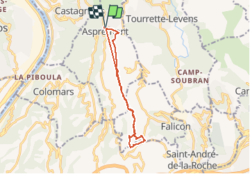

7,5 km | 12 km-effort


Gebruiker


Gratisgps-wandelapplicatie
 SityTrail
IGN / Geografische instituten
SityTrail World
De wereld gaat voor u open
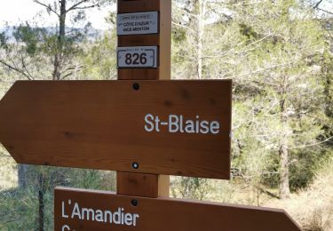
Tocht Lopen van 12,7 km beschikbaar op Provence-Alpes-Côte d'Azur, Alpes-Maritimes, Aspremont. Deze tocht wordt voorgesteld door chrisrando.
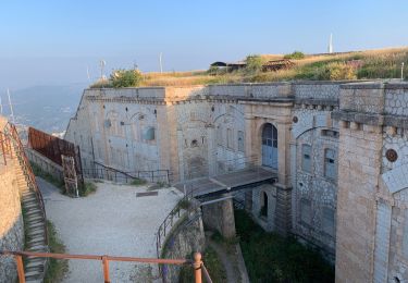
Dommage données un peu faussées l'application a beugué, sinon parcours sympa, des passages techniques très pierreux donc un bon équipement indispensable (chaussures running trail)

Stappen
Stappen

Te voet

Lopen

Stappen
Stappen

Stappen

Stappen
Stappen