![](/images/other/stat-length.png)
![Tocht Fiets Mougins - Tanneron Mandelieu bord de mer Cannes - Photo](https://media.geolcdn.com/t/1900/400/ext.pjpeg?maxdim=2&url=https%3A%2F%2Fstatic1.geolcdn.com%2Fsiteimages%2Fupload%2Ffiles%2F1524743154velo.jpg)
Tanneron Mandelieu bord de mer Cannes
philsutter
Gebruiker
![Lengte](/images/other/stat-length.png)
![Max. hoogte](https://static1.geolcdn.com/siteimages/upload/files/1508320355ic_sort_altitude_max_24dp.png)
![Positief hoogteverschil](https://static1.geolcdn.com/siteimages/upload/files/1508320355ic_sort_den_pos_24dp.png)
![Km-Effort](/images/other/stat-length.png)
![Min. hoogte](https://static1.geolcdn.com/siteimages/upload/files/1508320355ic_sort_altitude_min_24dp.png)
![Negatief hoogteverschil](https://static1.geolcdn.com/siteimages/upload/files/1508320355ic_sort_den_neg_24dp.png)
![Boucle](https://static1.geolcdn.com/siteimages/upload/files/16400158638029165_repeat_loop_refresh_sync_direction_icon.png)
![Fiets](https://static1.geolcdn.com/sitytour/trail-icons/200.png)
3h22
Moeilijkheid : Medium
![Scan deze QR-code om de tocht te openen in de SityTrail-applicatie](https://capi.geolives.com/qq0zvz2zws4bq2lad0pu/sitytour/trails/134520/qr.png?size=200)
Gratisgps-wandelapplicatie
Over ons
Tocht Fiets van 67 km beschikbaar op Provence-Alpes-Côte d'Azur, Alpes-Maritimes, Mougins. Deze tocht wordt voorgesteld door philsutter.
Beschrijving
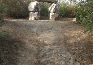
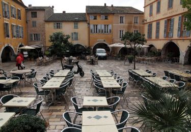
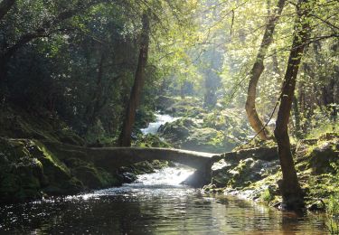
Au départ de Mougins le Haut en traversant la Valmasque, direction Valbonne, Plan de Grasse, Mouans-Sartoux, Pégomas puis montée du Tanneron jusqu'au Grand Duc pour redescendre sur Mandelieu pour prendre le bord de mer jusqu'à Cannes et remonter à Mougins.
Plaatsbepaling
Opmerkingen
Wandeltochten in de omgeving
![Tocht Fiets Cannes - st michel to funicular - Photo](https://media.geolcdn.com/t/375/260/ext.jpg?maxdim=2&url=https%3A%2F%2Fservices.sitytrail.com%2FGeolivesWS%2FDownloadMedia.ashx%3FTrailID%3D617439%26Media%3Dfix__20160819180717.jpg)
![Fiets Fiets](https://static1.geolcdn.com/sitytour/trail-icons/200.png)
Fiets
![](/images/other/stat-length.png)
![](https://static1.geolcdn.com/siteimages/upload/files/16400158638029165_repeat_loop_refresh_sync_direction_icon.png)
![Tocht Te voet Biot - Sentier de la Vallée de la Brague - Photo](https://media.geolcdn.com/t/375/260/69d5693d-b435-48ea-9803-59cdfb2bd33a.jpeg&format=jpg&maxdim=2)
![Te voet Te voet](https://static1.geolcdn.com/sitytour/trail-icons/100.png)
Te voet
![](/images/other/stat-length.png)
![](https://static1.geolcdn.com/siteimages/upload/files/16400158638029165_repeat_loop_refresh_sync_direction_icon.png)
![Tocht Te voet Valbonne - Circuit des Bouillides - Photo](https://media.geolcdn.com/t/375/260/83f1adf9-9b71-481b-afb6-9317825a7553.jpeg&format=jpg&maxdim=2)
![Te voet Te voet](https://static1.geolcdn.com/sitytour/trail-icons/100.png)
Te voet
![](/images/other/stat-length.png)
![](https://static1.geolcdn.com/siteimages/upload/files/16400158638029165_repeat_loop_refresh_sync_direction_icon.png)
![Tocht Te voet Valbonne - Circuit de l'Aqueduc - Photo](https://media.geolcdn.com/t/375/260/98799c39-3904-4577-9867-09b461856d10.jpeg&format=jpg&maxdim=2)
![Te voet Te voet](https://static1.geolcdn.com/sitytour/trail-icons/100.png)
Te voet
![](/images/other/stat-length.png)
![](https://static1.geolcdn.com/siteimages/upload/files/16400158638029165_repeat_loop_refresh_sync_direction_icon.png)
![Tocht Te voet Biot - Circuit de Saint-Philippe - Photo](https://media.geolcdn.com/t/375/260/4ea5c2a5-8352-4835-88c7-4e46e7f4f872.jpeg&format=jpg&maxdim=2)
![Te voet Te voet](https://static1.geolcdn.com/sitytour/trail-icons/100.png)
Te voet
![](/images/other/stat-length.png)
![](https://static1.geolcdn.com/siteimages/upload/files/16400158638029165_repeat_loop_refresh_sync_direction_icon.png)
![Tocht Te voet Biot - Circuit des Pierres à Four - Photo](https://media.geolcdn.com/t/375/260/4ea5c2a5-8352-4835-88c7-4e46e7f4f872.jpeg&format=jpg&maxdim=2)
![Te voet Te voet](https://static1.geolcdn.com/sitytour/trail-icons/100.png)
Te voet
![](/images/other/stat-length.png)
![](https://static1.geolcdn.com/siteimages/upload/files/16400158638029165_repeat_loop_refresh_sync_direction_icon.png)
![Tocht Mountainbike Valbonne - Valmasques pistes carton, Devens, des Moulins... - Photo](https://media.geolcdn.com/t/375/260/ext.jpg?maxdim=2&url=https%3A%2F%2Fstatic1.geolcdn.com%2Fsiteimages%2Fupload%2Ffiles%2F1524743154velo.jpg)
![Mountainbike Mountainbike](https://static1.geolcdn.com/sitytour/trail-icons/202.png)
Mountainbike
![](/images/other/stat-length.png)
![](https://static1.geolcdn.com/siteimages/upload/files/16400158638029165_repeat_loop_refresh_sync_direction_icon.png)
![Tocht Stappen Le Cannet - Sur les pas de Bonnard, Le Cannet - Photo](https://media.geolcdn.com/t/375/260/912049f5-6832-4114-95a4-305d08e71f05.jpg&format=jpg&maxdim=2)
![Stappen Stappen](https://static1.geolcdn.com/sitytour/trail-icons/101.png)
Stappen
![](/images/other/stat-length.png)
![](https://static1.geolcdn.com/siteimages/upload/files/16400158638029165_repeat_loop_refresh_sync_direction_icon.png)
![Tocht sport Mougins - Le long du canal de la Siagne (une partie) - Photo](https://media.geolcdn.com/t/375/260/4d0c3f2a-5e8d-470f-a038-a129b60e8cd6.jpg&format=jpg&maxdim=2)
sport
![](/images/other/stat-length.png)
![](https://static1.geolcdn.com/siteimages/upload/files/16400158638029165_repeat_loop_refresh_sync_direction_icon.png)