

collines du garlaban 16 juin 2012

harydh
Gebruiker GUIDE

Lengte
24 km

Max. hoogte
637 m

Positief hoogteverschil
704 m

Km-Effort
34 km

Min. hoogte
235 m

Negatief hoogteverschil
709 m
Boucle
Ja
Datum van aanmaak :
2014-12-10 00:00:00.0
Laatste wijziging :
2014-12-10 00:00:00.0
2h56
Moeilijkheid : Medium

Gratisgps-wandelapplicatie
Over ons
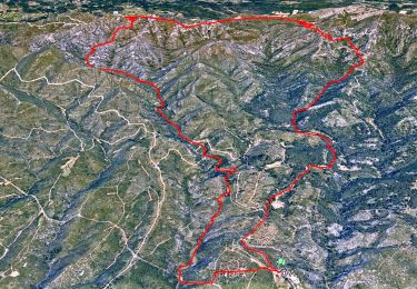
Tocht Mountainbike van 24 km beschikbaar op Provence-Alpes-Côte d'Azur, Bouches-du-Rhône, Allauch. Deze tocht wordt voorgesteld door harydh.
Beschrijving
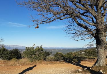
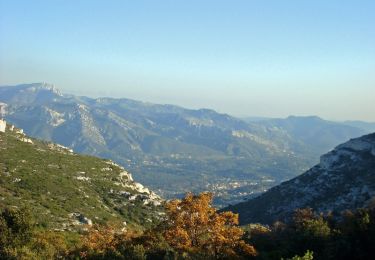
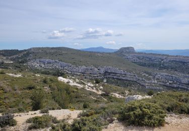
belle balade de printemps odeurs des genets vues sur la baie de marseille et vers la sainte victoire et premières cigales
Plaatsbepaling
Land:
France
Regio :
Provence-Alpes-Côte d'Azur
Departement/Provincie :
Bouches-du-Rhône
Gemeente :
Allauch
Locatie:
Unknown
Vertrek:(Dec)
Vertrek:(UTM)
703564 ; 4804699 (31T) N.
Opmerkingen
Wandeltochten in de omgeving
SityTrail - le Pilon


Stappen
Medium
(1)
Allauch,
Provence-Alpes-Côte d'Azur,
Bouches-du-Rhône,
France

13,7 km | 20 km-effort
6h 0min
Ja
Le tour des Grands Ubacs au départ de Pichauris


Stappen
Gemakkelijk
(1)
Allauch,
Provence-Alpes-Côte d'Azur,
Bouches-du-Rhône,
France

13,3 km | 20 km-effort
4h 25min
Ja
Domaine de Pichauris - Allauch


Stappen
Medium
(1)
Allauch,
Provence-Alpes-Côte d'Azur,
Bouches-du-Rhône,
France

10,5 km | 15 km-effort
2h 30min
Ja
le pic du Taoumé par Pichauris


Stappen
Gemakkelijk
Allauch,
Provence-Alpes-Côte d'Azur,
Bouches-du-Rhône,
France

13,3 km | 20 km-effort
4h 32min
Ja
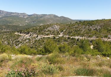
les antennes du garlaban à modifier


Mountainbike
Medium
Allauch,
Provence-Alpes-Côte d'Azur,
Bouches-du-Rhône,
France

19,3 km | 28 km-effort
2h 8min
Ja

les antennes du garlaban


Mountainbike
Medium
Allauch,
Provence-Alpes-Côte d'Azur,
Bouches-du-Rhône,
France

19,3 km | 28 km-effort
2h 8min
Ja
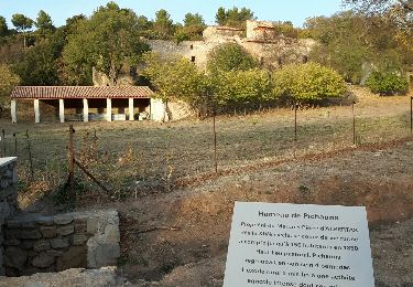
de Pichauris au mont du Marseillais


Mountainbike
Medium
Allauch,
Provence-Alpes-Côte d'Azur,
Bouches-du-Rhône,
France

14 km | 19,2 km-effort
2h 34min
Ja
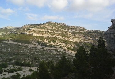
Pic du Taoumé


Stappen
Gemakkelijk
Allauch,
Provence-Alpes-Côte d'Azur,
Bouches-du-Rhône,
France

9,2 km | 15,2 km-effort
5h 5min
Ja

allauch amandiers


Stappen
Medium
(2)
Allauch,
Provence-Alpes-Côte d'Azur,
Bouches-du-Rhône,
France

12,6 km | 19,5 km-effort
3h 37min
Ja


 SityTrail


