


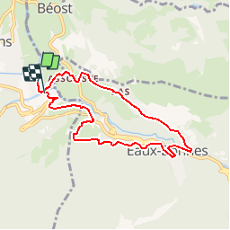

6 km | 9,9 km-effort


Gebruiker


Gratisgps-wandelapplicatie
 SityTrail
IGN / Geografische instituten
SityTrail World
De wereld gaat voor u open
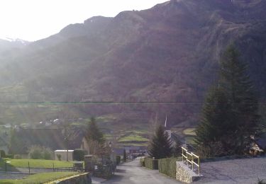
Tocht Stappen van 7,7 km beschikbaar op Nieuw-Aquitanië, Pyrénées-Atlantiques, Laruns. Deze tocht wordt voorgesteld door LEMENIO.
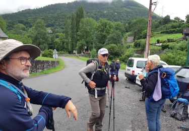
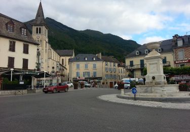
Départ au terrain de camping des Gaves. Bonne grimpette en début de circuit (2 Km). Ensuite cool. Au village des Eaux Bonnes, il est possible de traverser le mail pour prendre le chemin qui passe devant la casino.

Stappen
Stappen

Te voet
Te voet
Te voet
Te voet
Te voet
Te voet

Te voet