


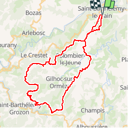

17,5 km | 24 km-effort


Gebruiker


Gratisgps-wandelapplicatie
 SityTrail
IGN / Geografische instituten
SityTrail World
De wereld gaat voor u open
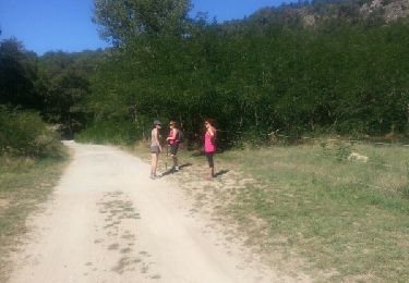
Tocht Mountainbike van 43 km beschikbaar op Auvergne-Rhône-Alpes, Ardèche, Saint-Barthélemy-le-Plain. Deze tocht wordt voorgesteld door lolo07300.
Très beau parcours sur les crêtes au départ de Saint Barthélémy le plain, boucle autour de Gilhoc et de colombier le jeune, vu imprenable.
Te voet
Te voet
Stappen
Stappen

Stappen
Stappen
Stappen
Stappen
Stappen