


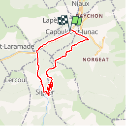

10,8 km | 24 km-effort


Gebruiker


Gratisgps-wandelapplicatie
 SityTrail
IGN / Geografische instituten
SityTrail World
De wereld gaat voor u open
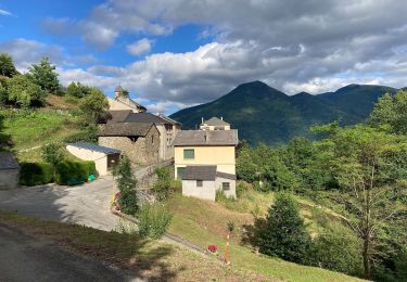
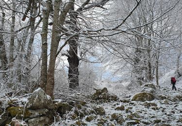
Tocht Mountainbike van 13,5 km beschikbaar op Occitanië, Ariège, Capoulet-et-Junac. Deze tocht wordt voorgesteld door tracegps.
Relevé sur le terrain par les VTTAYRES du Sabarthes

Stappen
Elektrische fiets
Elektrische fiets
Te voet
Te voet

Te voet

Stappen
Stappen
Stappen