Tocht Stappen Saint-Hellier - Balade à Saint Hellier - Photo

Balade à Saint Hellier

 tracegps
tracegps

Gebruiker

© OpenStreetMap contributors
Lengte
Lengte
12,4 km
Max. hoogte
Max. hoogte
208 m
Positief hoogteverschil
213 m
Km-Effort
Km-Effort  
15,3 km
Min. hoogte
Min. hoogte
52 m
Negatief hoogteverschil
214 m
Boucle
Boucle
Ja
Datum van aanmaak :
2014-12-10 00:00:00.0
Laatste wijziging :
2014-12-10 00:00:00.0

(0 Bericht)

Stappen
Stappen
2h40
Moeilijkheid : Gemakkelijk

Scan deze QR-code om de tocht te openen in de SityTrail-applicatie

Gratisgps-wandelapplicatie

Logo SityTrail SityTrail

IGN / Geografische instituten

SityTrail uit de App Store downloaden SityTrail uit Google Play downloaden

Logo SityTrail SityTrail World

De wereld gaat voor u open

SityTrail uit de App Store downloaden SityTrail uit Google Play downloaden SityTrail op Huawei AppGallery downloaden

Over ons

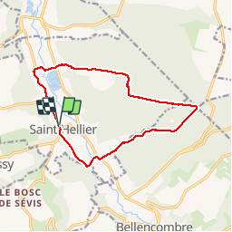
Tocht Stappen van 12,4 km beschikbaar op Normandië, Seine-Maritime, Saint-Hellier. Deze tocht wordt voorgesteld door tracegps.

Beschrijving

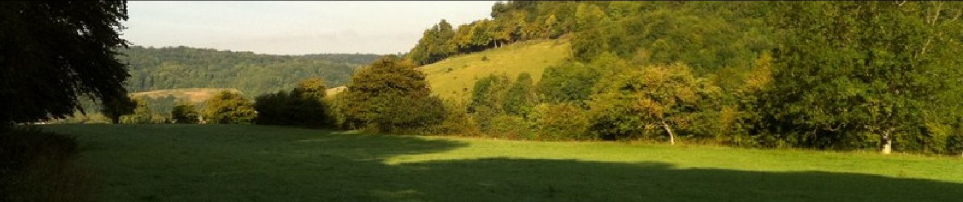
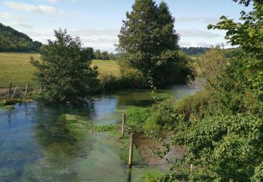
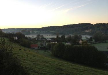
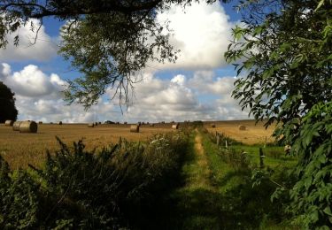
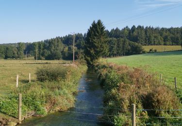
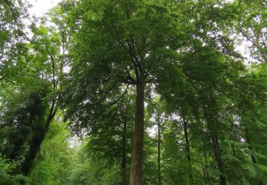
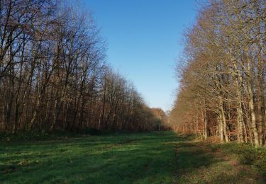
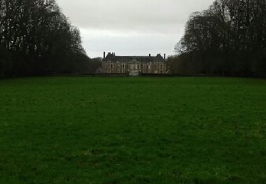
Partant de St Hellier, nous marchons dans la vallée de la Varenne jusqu'à Orival. Là, nous montons vers la forêt domaniale d'Eawy. Nous empruntons le chemin de la Loge, à proximité duquel fut découvert au XIXème siècle le Custos Fadus. Notre balade ne nous a pas donné la chance d'apercevoir l'une de ces étranges créatures. Nous descendons le long des Essarts de la Fresnaye, passons au bord des étangs de la Varenne, et retrouvons le village de St Hellier.

Hoogteprofiel

Foto's

Plaatsbepaling

Land:
France
Regio :
Normandië
Departement/Provincie :
Seine-Maritime
Gemeente :
Saint-Hellier
Locatie:
Unknown
Vertrek:(Dec)
Vertrek:(UTM)
369539 ; 5510465 (31U) N.

Wandeltochten in de omgeving

Tocht Stappen Bellencombre - Bellencombre forêt d'eawy - Photo
Stappen
Papy Diouf

Stappen

Moeilijk
(1)
Bellencombre, Normandië, Seine-Maritime, France
12,4 km | 16 km-effort
3h 37min
Ja
Tocht Stappen Muchedent - muchedent  - Photo
Stappen
Papy Diouf

Stappen

Moeilijk
Muchedent, Normandië, Seine-Maritime, France
9,5 km | 12 km-effort
1h 35min
Ja
Tocht Stappen Le Catelier - Le catelier montigny - Photo
Stappen
Papy Diouf

Stappen

Medium
Le Catelier, Normandië, Seine-Maritime, France
9,3 km | 11,3 km-effort
1h 36min
Ja
Tocht Stappen Bellencombre - De Bellencombre à la forêt d'Eawy - Photo
Stappen
tracegps

Stappen

Gemakkelijk
Bellencombre, Normandië, Seine-Maritime, France
12,9 km | 16,5 km-effort
2h 30min
Ja
Tocht Stappen Rosay - Randonnée à Rosay - Photo
Stappen
tracegps

Stappen

Medium
Rosay, Normandië, Seine-Maritime, France
17,3 km | 22 km-effort
3h 40min
Ja
Tocht Stappen Le Catelier - catelier - Photo
Stappen
Papy Diouf

Stappen

Medium
Le Catelier, Normandië, Seine-Maritime, France
8,3 km | 10,4 km-effort
1h 53min
Ja
Tocht Stappen Muchedent - les essarts forêt d'eawy muchedent  - Photo
Stappen
Papy Diouf

Stappen

Medium
Muchedent, Normandië, Seine-Maritime, France
9 km | 11,6 km-effort
1h 29min
Ja
Tocht Stappen Muchedent - forêt Eawy les essarts - Photo
Stappen
Papy Diouf

Stappen

Heel gemakkelijk
Muchedent, Normandië, Seine-Maritime, France
5,3 km | 6,5 km-effort
1h 7min
Ja
Tocht Stappen Val-de-Scie - LaCorbiere2 - Photo
Stappen
patrice76

Stappen

Gemakkelijk
Val-de-Scie, Normandië, Seine-Maritime, France
7,1 km | 8,2 km-effort
1h 34min
Ja


Sluiten
Mijn abonnementen