


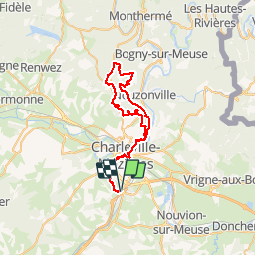


11 km | 13,7 km-effort

Gebruiker


Gratisgps-wandelapplicatie
 SityTrail
IGN / Geografische instituten
SityTrail World
De wereld gaat voor u open
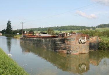
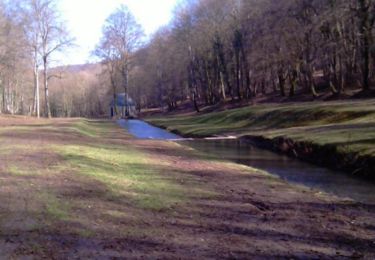
Tocht Mountainbike van 48 km beschikbaar op Grand Est, Ardennes, La Francheville. Deze tocht wordt voorgesteld door tracegps.
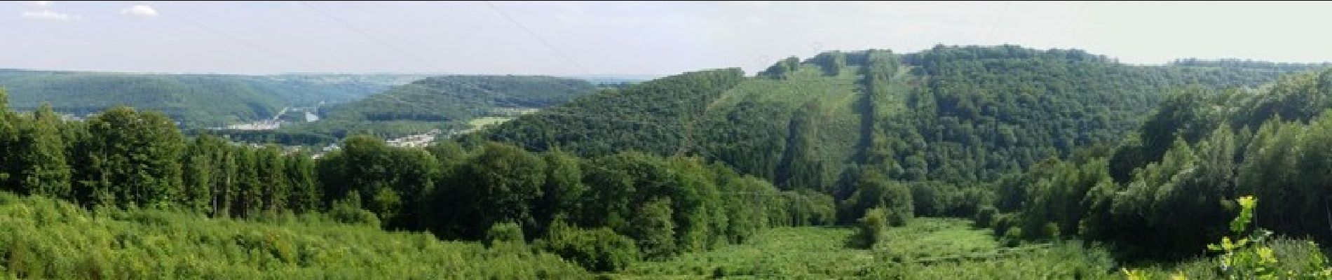
Circuit très agréable au départ de La Francheville avec de belles montées pas trop longues et de belles descentes sans oublier les singles, c'est un régal !


Stappen

Stappen
Stappen
Mountainbike
Mountainbike
Mountainbike
Mountainbike
Mountainbike
Stappen