Tocht Andere activiteiten Vic-Fezensac - 2012-05-22 17h05m50 - Photo

2012-05-22 17h05m50

 louis42600
louis42600

Gebruiker

© OpenStreetMap contributors
Lengte
Lengte
30 km
Max. hoogte
Max. hoogte
210 m
Positief hoogteverschil
273 m
Km-Effort
Km-Effort  
34 km
Min. hoogte
Min. hoogte
83 m
Negatief hoogteverschil
291 m
Boucle
Boucle
Neen
Datum van aanmaak :
2014-12-10 00:00:00.0
Laatste wijziging :
2014-12-10 00:00:00.0

(0 Bericht)

Andere activiteiten
Andere activiteiten
36m
Moeilijkheid : Onbekend

Scan deze QR-code om de tocht te openen in de SityTrail-applicatie

Gratisgps-wandelapplicatie

Logo SityTrail SityTrail

IGN / Geografische instituten

SityTrail uit de App Store downloaden SityTrail uit Google Play downloaden

Logo SityTrail SityTrail World

De wereld gaat voor u open

SityTrail uit de App Store downloaden SityTrail uit Google Play downloaden SityTrail op Huawei AppGallery downloaden

Over ons

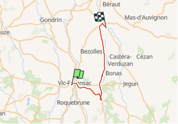
Tocht Andere activiteiten van 30 km beschikbaar op Occitanië, Gers, Vic-Fezensac. Deze tocht wordt voorgesteld door louis42600.

Hoogteprofiel

Foto's

POI's

POI Valence-sur-Baïse - cartefour - Photo
louis42600
VALENCE-SUR-BAÏSE 

Plaatsbepaling

Land:
France
Regio :
Occitanië
Departement/Provincie :
Gers
Gemeente :
Vic-Fezensac
Locatie:
Unknown
Vertrek:(Dec)
Vertrek:(UTM)
282297 ; 4848222 (31T) N.

Wandeltochten in de omgeving

Tocht Fietstoerisme Vic-Fezensac - B - Vic Fezensac - A la découverte du bâtit Gersois - Photo
Fietstoerisme
potofe

Fietstoerisme

Medium
Vic-Fezensac, Occitanië, Gers, France
101 km | 120 km-effort
Onbekend
Ja
Tocht Stappen Vic-Fezensac - vic - Photo
Stappen
landrein

Stappen

Medium
Vic-Fezensac, Occitanië, Gers, France
8,6 km | 10,2 km-effort
2h 57min
Neen
Tocht Mountainbike Vic-Fezensac - vic - flaran - Photo
Mountainbike
xenkod

Mountainbike

Medium
Vic-Fezensac, Occitanië, Gers, France
44 km | 54 km-effort
3h 28min
Ja


Sluiten
Mijn abonnementen