


5,7 km | 8,3 km-effort


Gebruiker


Gratisgps-wandelapplicatie
 SityTrail
IGN / Geografische instituten
SityTrail World
De wereld gaat voor u open
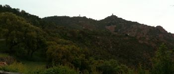
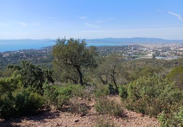
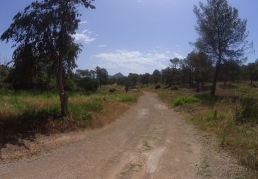
Tocht Mountainbike van 36 km beschikbaar op Provence-Alpes-Côte d'Azur, Var, Saint-Raphaël. Deze tocht wordt voorgesteld door barberou.
Saint-Raphaël
Piste du Porfait
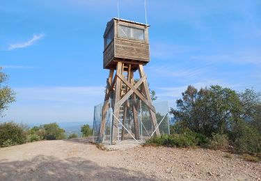
Maison Forestière du Malpey
Col du Logis de Paris
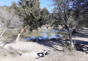
Lac de l'Avellan
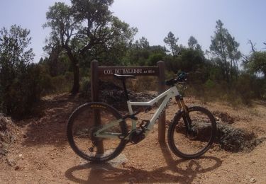
Col du Testanier
Retour par GR49


Stappen

Stappen

Elektrische fiets
Stappen
Stappen
Stappen
Mountainbike
Mountainbike
Mountainbike
Très beau parcours,simple et agréable,si ce n’est qu’il emprunte des chemins interdits à tte circulation !!!!