


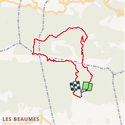

6 km | 8,6 km-effort


Gebruiker


Gratisgps-wandelapplicatie
 SityTrail
IGN / Geografische instituten
SityTrail World
De wereld gaat voor u open
Tocht Stappen van 16,2 km beschikbaar op Provence-Alpes-Côte d'Azur, Vaucluse, Lauris. Deze tocht wordt voorgesteld door Elidabeth.
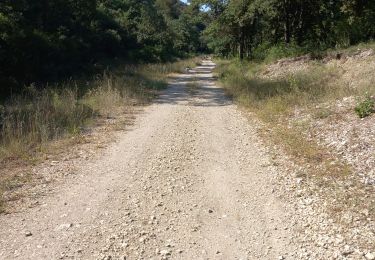
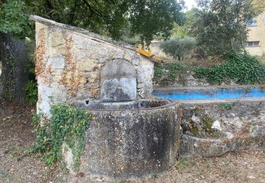
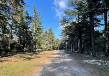
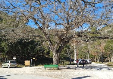
DDépart de parking proximité mas dde Recaute, gr puis forêt de CCèdres Tour philippe, combe du sautadou. Beaucoup de charme à ddécouvrir au printemps, fleurs,et chants d'oiseaux.

Stappen

Stappen

Te voet

Stappen
Stappen
Te voet
Stappen
Stappen

Mountainbike