6,7 km | 9,1 km-effort
Col de jouels
John09
Gebruiker
Lengte
11,1 km
Max. hoogte
1614 m
Positief hoogteverschil
397 m
Km-Effort
16,4 km
Min. hoogte
1243 m
Negatief hoogteverschil
392 m
Boucle
Ja
Datum van aanmaak :
2014-12-10 00:00:00.0
Laatste wijziging :
2014-12-10 00:00:00.0
--
Moeilijkheid : Medium
Gratisgps-wandelapplicatie
Over ons
Tocht Mountainbike van 11,1 km beschikbaar op Occitanië, Ariège, Sentenac-de-Sérou. Deze tocht wordt voorgesteld door John09.
Beschrijving
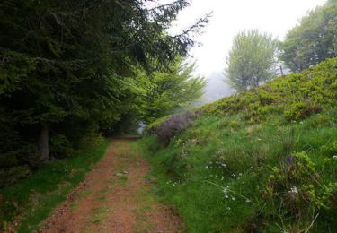
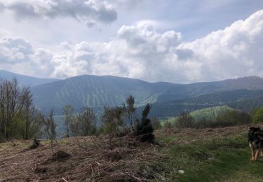
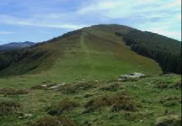
Col de Jouels / Col de Peguere / Cap du carmil avec une belle descente jusqu'au col d'Uscla
Plaatsbepaling
Land:
France
Regio :
Occitanië
Departement/Provincie :
Ariège
Gemeente :
Sentenac-de-Sérou
Locatie:
Unknown
Vertrek:(Dec)
Vertrek:(UTM)
370030 ; 4755897 (31T) N.
Opmerkingen
Wandeltochten in de omgeving
Le Planel depuis le Col des Marrous
Stappen
Medium
(1)
Le Bosc,
Occitanië,
Ariège,
France
2h 25min
Ja
Le Cap du Carmil depuis le Col des Marrous
Stappen
Moeilijk
Le Bosc,
Occitanië,
Ariège,
France
14,6 km | 24 km-effort
6h 10min
Ja
Boucle Col des Marrous
Wintersport
Medium
(1)
Le Bosc,
Occitanië,
Ariège,
France
8,5 km | 13 km-effort
1h 8min
Ja
Col d’Uscla -boucle vers col des Marrous
Stappen
Medium
Montagagne,
Occitanië,
Ariège,
France
5 km | 7,8 km-effort
1h 18min
Ja
Cap de Carmil
Stappen
Heel gemakkelijk
Montagagne,
Occitanië,
Ariège,
France
11,7 km | 18,9 km-effort
3h 59min
Ja
Boucle dans le Massif de l'Arize - Col des Marrous - Nescus
Paard
Medium
Alzen,
Occitanië,
Ariège,
France
7 km | 10 km-effort
1h 0min
Neen
Boucle dans le Massif de l'Arize - Cap du Carmil - Col des Marrous
Paard
Medium
Sentenac-de-Sérou,
Occitanië,
Ariège,
France
7,7 km | 9,9 km-effort
1h 30min
Neen
Cap de Carmil - Col de Péguère
Stappen
Medium
Montagagne,
Occitanië,
Ariège,
France
11,1 km | 17,6 km-effort
4h 0min
Ja
cap carmil
Stappen
Gemakkelijk
Le Bosc,
Occitanië,
Ariège,
France
13,4 km | 22 km-effort
4h 23min
Ja