


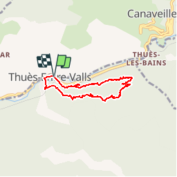


7,2 km | 15,3 km-effort


Gebruiker


Gratisgps-wandelapplicatie
 SityTrail
IGN / Geografische instituten
SityTrail World
De wereld gaat voor u open
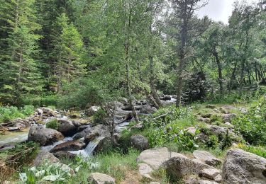
Tocht Mountainbike van 6,4 km beschikbaar op Occitanië, Pyrénées-Orientales, Thuès-Entre-Valls. Deze tocht wordt voorgesteld door fine66.
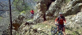
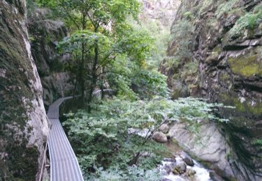
le chemin des baba avec milou et ian


Stappen

Stappen

Stappen

Stappen

Stappen
Stappen
Stappen
Stappen
Stappen
très joli, sauvage,un peu vertigineux par endroit. Heureusement j'étais à pied. Travail remarquable des anciens par endroit , quel boulot. Grâce à eux , super sentier.