29 km | 31 km-effort
20120413
Climatis50
Gebruiker
Lengte
26 km
Max. hoogte
41 m
Positief hoogteverschil
159 m
Km-Effort
29 km
Min. hoogte
8 m
Negatief hoogteverschil
159 m
Boucle
Ja
Datum van aanmaak :
2014-12-10 00:00:00.0
Laatste wijziging :
2014-12-10 00:00:00.0
--
Moeilijkheid : Onbekend
Gratisgps-wandelapplicatie
Over ons
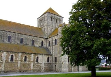
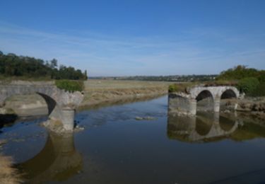
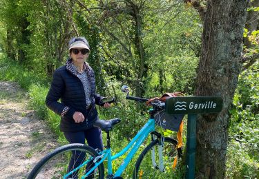
Tocht Mountainbike van 26 km beschikbaar op Normandië, Manche, Lessay. Deze tocht wordt voorgesteld door Climatis50.
Plaatsbepaling
Land:
France
Regio :
Normandië
Departement/Provincie :
Manche
Gemeente :
Lessay
Locatie:
Lessay
Vertrek:(Dec)
Vertrek:(UTM)
608499 ; 5452072 (30U) N.
Opmerkingen
Wandeltochten in de omgeving
De l'Abbaye au bois du Pissot - Lessay
Stappen
Medium
(1)
Lessay,
Normandië,
Manche,
France
14,5 km | 16,3 km-effort
3h 30min
Ja
Les chemins de Saint Michel - Lessay - Granville
Stappen
Medium
Lessay,
Normandië,
Manche,
France
78 km | 88 km-effort
Onbekend
Neen
Velo Lessay la Haie du Puits
Wegfiets
Lessay,
Normandië,
Manche,
France
21 km | 22 km-effort
1h 55min
Ja
COTENTIN 1
Wegfiets
Zeer moeilijk
Vesly,
Normandië,
Manche,
France
258 km | 292 km-effort
17h 40min
Neen
TR DU COTENTIN 250K
Fietstoerisme
Heel gemakkelijk
Vesly,
Normandië,
Manche,
France
240 km | 271 km-effort
Onbekend
Ja
des-rives-de-l-ay-aux-landes-de-lessay 2
sport
Heel gemakkelijk
Lessay,
Normandië,
Manche,
France
12,5 km | 13,5 km-effort
Onbekend
Neen