


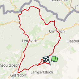

23 km | 32 km-effort


Gebruiker


Gratisgps-wandelapplicatie
 SityTrail
IGN / Geografische instituten
SityTrail World
De wereld gaat voor u open
Tocht Mountainbike van 39 km beschikbaar op Grand Est, Bas-Rhin, Lobsann. Deze tocht wordt voorgesteld door reymuben.
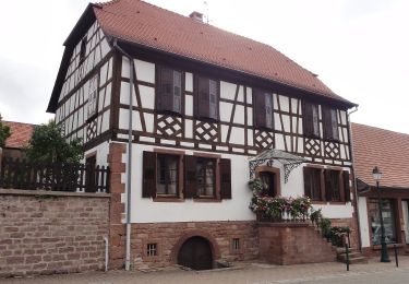
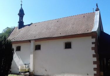
départ lobsann en passant par: le gimbelhoff le château du feckenstein lembach liebfrauenberg arrivée: lobsann

Mountainbike
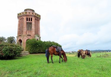
Paardrijden
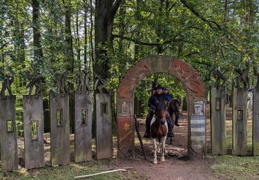
Paardrijden
Paardrijden
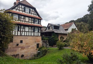
Te voet
Te voet
Te voet
Te voet
Te voet