


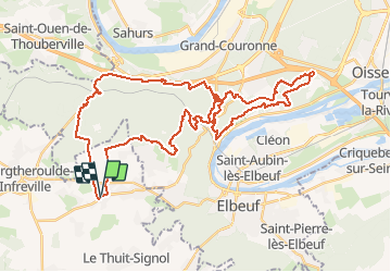

13 km | 16,1 km-effort

Gebruiker


Gratisgps-wandelapplicatie
 SityTrail
IGN / Geografische instituten
SityTrail World
De wereld gaat voor u open
Tocht Mountainbike van 45 km beschikbaar op Normandië, Eure, Bosroumois. Deze tocht wordt voorgesteld door tracegps.
Superbe parcours technique avec de beaux panoramas sur la Seine. Passage dans des Troglodytes. Difficile quand le terrain est boueux.


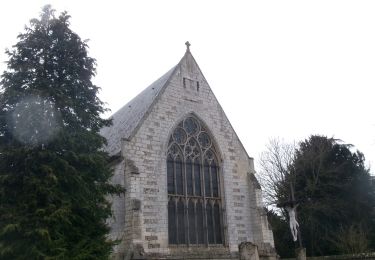
Stappen

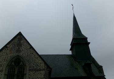
Stappen

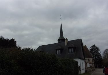
Stappen
Stappen

Stappen
Stappen
Stappen
Stappen
Stappen