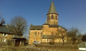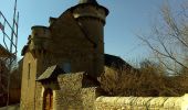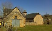

Horizons et Clochers du Rouergue - Gillorgues

tracegps
Gebruiker

Lengte
11,9 km

Max. hoogte
693 m

Positief hoogteverschil
264 m

Km-Effort
15,5 km

Min. hoogte
561 m

Negatief hoogteverschil
264 m
Boucle
Ja
Datum van aanmaak :
2014-12-10 00:00:00.0
Laatste wijziging :
2014-12-10 00:00:00.0
3h00
Moeilijkheid : Medium

Gratisgps-wandelapplicatie
Over ons
Tocht Stappen van 11,9 km beschikbaar op Occitanië, Aveyron, Bozouls. Deze tocht wordt voorgesteld door tracegps.
Beschrijving
Randonnée facile, que du bon chemin, un petit morceau de sentiers agréables et du panorama quasiment tout au long du parcours, vous avez une petite grimpette en début de randonnée pour vous mettre en forme!!!
Plaatsbepaling
Land:
France
Regio :
Occitanië
Departement/Provincie :
Aveyron
Gemeente :
Bozouls
Locatie:
Unknown
Vertrek:(Dec)
Vertrek:(UTM)
478741 ; 4920711 (31T) N.
Opmerkingen
Wandeltochten in de omgeving

Trou de Bozouls


Stappen
Gemakkelijk
(4)
Bozouls,
Occitanië,
Aveyron,
France

14,5 km | 19,9 km-effort
4h 15min
Ja
De Bozouls à Rodelle


Te voet
Gemakkelijk
Bozouls,
Occitanië,
Aveyron,
France

10,4 km | 13,6 km-effort
3h 4min
Neen
Bozoul (Après-midi)


Stappen
Gemakkelijk
Bozouls,
Occitanië,
Aveyron,
France

4,8 km | 6,6 km-effort
2h 0min
Ja
BARRIAC / CARCUAC


Te voet
Gemakkelijk
Bozouls,
Occitanië,
Aveyron,
France

3,9 km | 4,8 km-effort
1h 0min
Ja
les bourines


Stappen
Gemakkelijk
Bertholène,
Occitanië,
Aveyron,
France

9 km | 11 km-effort
2h 33min
Ja
les bourines


Stappen
Gemakkelijk
(1)
Bertholène,
Occitanië,
Aveyron,
France

9 km | 11 km-effort
2h 33min
Ja
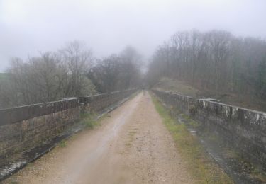
Roquelaure au départ de Bozouls


Mountainbike
Moeilijk
Bozouls,
Occitanië,
Aveyron,
France

33 km | 43 km-effort
4h 19min
Ja
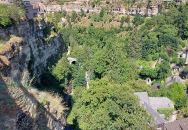
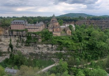
Le tour du trou de Bizoul


Stappen
Medium
Bozouls,
Occitanië,
Aveyron,
France

8,5 km | 11,5 km-effort
2h 46min
Ja


 SityTrail


