


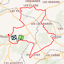

11,5 km | 15,4 km-effort

Gebruiker


Gratisgps-wandelapplicatie
 SityTrail
IGN / Geografische instituten
SityTrail World
De wereld gaat voor u open
Tocht Fiets van 22 km beschikbaar op Provence-Alpes-Côte d'Azur, Vaucluse, Roussillon. Deze tocht wordt voorgesteld door tracegps.
Au départ du Conservatoire des Ocres (Okhra), louez un vélo et partez à la découverte de ce territoire marqué par l’extraction et la production de ce précieux pigment qu’est l’ocre ! Pour cela, nous vous proposons deux balades empruntant des routes pittoresques et très peu fréquentées ainsi que l’incontournable parcours fléché : Les Ocres à Vélo. Départ du conservatoire des Ocres et de la Couleur, route d'Apt (D104). Retrouvez plus d’informations et téléchargez la fiche du circuit sur le site de la Provence en vélo.
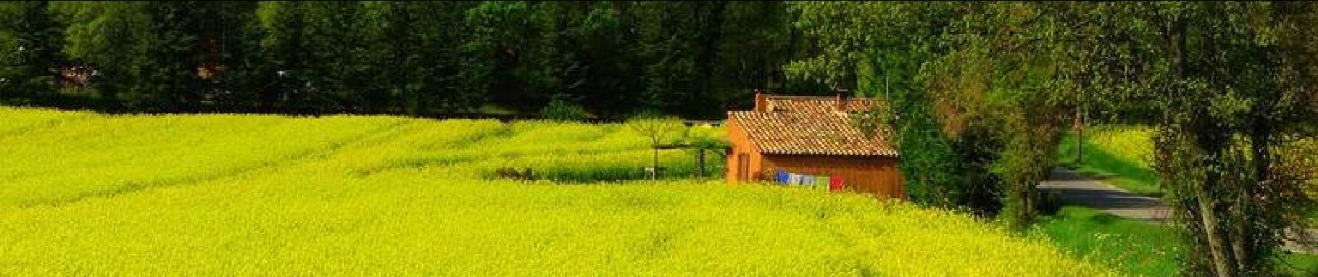
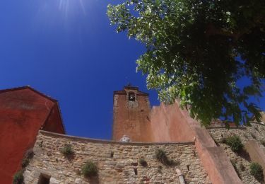
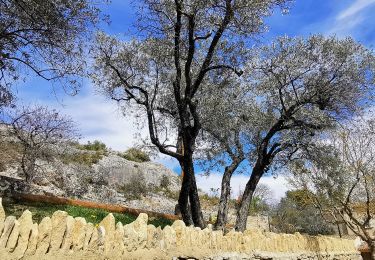
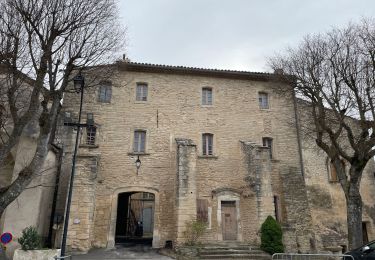
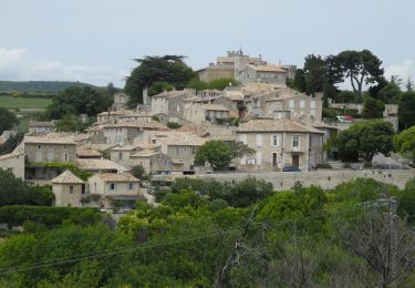
 - Roussillon - Photo 1")
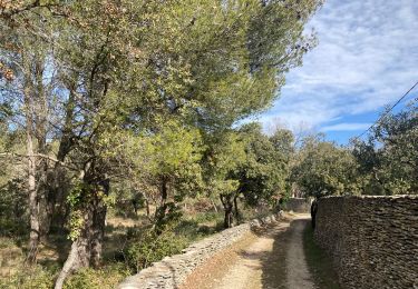
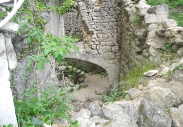
 - Roussillon - Photo 2")
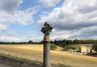
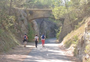
 - Roussillon - Photo 3")
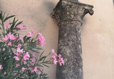
 - Roussillon - Photo 4")
 - Roussillon - Photo 5")
Mountainbike
Stappen
Stappen
Stappen
Stappen
Stappen
Stappen
Stappen
Stappen