

Rando de la St Valentin, Annay sous Lens

tracegps
Gebruiker

Lengte
34 km

Max. hoogte
46 m

Positief hoogteverschil
229 m

Km-Effort
37 km

Min. hoogte
18 m

Negatief hoogteverschil
230 m
Boucle
Ja
Datum van aanmaak :
2014-12-10 00:00:00.0
Laatste wijziging :
2014-12-10 00:00:00.0
2h15
Moeilijkheid : Medium

Gratisgps-wandelapplicatie
Over ons
Tocht Mountainbike van 34 km beschikbaar op Hauts-de-France, Pas-de-Calais, Annay. Deze tocht wordt voorgesteld door tracegps.
Beschrijving
Circuit sympa, avec plusieurs passages dans les terrils, un peu de sous bois et retour le long du canal. Circuit très ludique. Quelques photos du circuit ici !
Plaatsbepaling
Land:
France
Regio :
Hauts-de-France
Departement/Provincie :
Pas-de-Calais
Gemeente :
Annay
Locatie:
Unknown
Vertrek:(Dec)
Vertrek:(UTM)
492306 ; 5589670 (31U) N.
Opmerkingen
Wandeltochten in de omgeving

Wingles parc de la souchez


Hybride fiets
(1)
Wingles,
Hauts-de-France,
Pas-de-Calais,
France

34 km | 36 km-effort
1h 53min
Ja
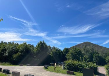
Wingles BÈthune vimy


Elektrische fiets
Medium
Wingles,
Hauts-de-France,
Pas-de-Calais,
France

82 km | 92 km-effort
5h 32min
Ja

terrils - fouquieres les lens


Lopen
Gemakkelijk
Courrières,
Hauts-de-France,
Pas-de-Calais,
France

15,9 km | 18,7 km-effort
2h 9min
Ja

étang du brochet


Stappen
Gemakkelijk
Noyelles-sous-Lens,
Hauts-de-France,
Pas-de-Calais,
France

1,9 km | 2,1 km-effort
44min
Ja
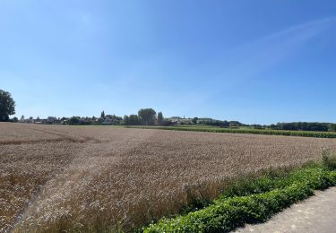
Vers Lorette


Elektrische fiets
Gemakkelijk
Wingles,
Hauts-de-France,
Pas-de-Calais,
France

50 km | 55 km-effort
2h 49min
Ja
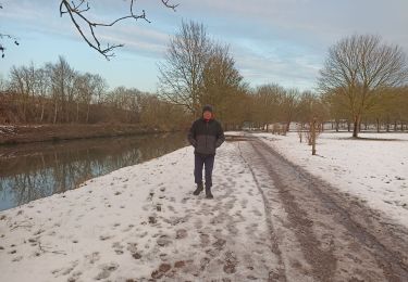
canal Courrières


Stappen
Gemakkelijk
Courrières,
Hauts-de-France,
Pas-de-Calais,
France

1,9 km | 2 km-effort
54min
Ja
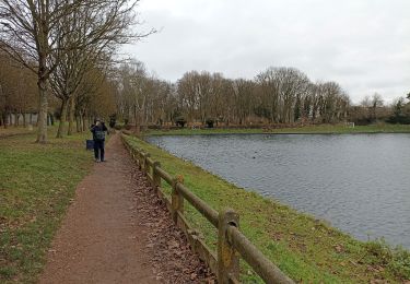
Montigny


Stappen
Gemakkelijk
Montigny-en-Gohelle,
Hauts-de-France,
Pas-de-Calais,
France

1,5 km | 1,6 km-effort
36min
Ja

Canal Courrières


Stappen
Gemakkelijk
Courrières,
Hauts-de-France,
Pas-de-Calais,
France

2,5 km | 2,9 km-effort
48min
Ja

annay


Stappen
Gemakkelijk
Annay,
Hauts-de-France,
Pas-de-Calais,
France

1,4 km | 1,6 km-effort
29min
Ja


 SityTrail


