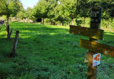
4,3 km | 5,8 km-effort
Nouveau guide
gasoil
Gebruiker
Lengte
8,3 km
Max. hoogte
211 m
Positief hoogteverschil
170 m
Km-Effort
10,4 km
Min. hoogte
124 m
Negatief hoogteverschil
116 m
Boucle
Neen
Datum van aanmaak :
2014-12-10 00:00:00.0
Laatste wijziging :
2014-12-10 00:00:00.0
--
Moeilijkheid : Onbekend
Gratisgps-wandelapplicatie
Over ons
Tocht Andere activiteiten van 8,3 km beschikbaar op Normandië, Calvados, Valdallière. Deze tocht wordt voorgesteld door gasoil.
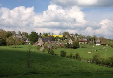
Plaatsbepaling
Land:
France
Regio :
Normandië
Departement/Provincie :
Calvados
Gemeente :
Valdallière
Locatie:
Vassy
Vertrek:(Dec)
Vertrek:(UTM)
670898 ; 5413844 (30U) N.
Opmerkingen
Wandeltochten in de omgeving
La Chapelle Engerbold
Te voet
Gemakkelijk
Condé-en-Normandie,
Normandië,
Calvados,
France
1h 18min
Ja
Sur les Traces des Templiers
Te voet
Medium
Valdallière,
Normandië,
Calvados,
France
17,8 km | 21 km-effort
4h 52min
Neen
Circuit des Logettes
Te voet
Gemakkelijk
Valdallière,
Normandië,
Calvados,
France
8,6 km | 10 km-effort
2h 16min
Ja
Le Moulin de la Hiaule
Te voet
Gemakkelijk
Condé-en-Normandie,
Normandië,
Calvados,
France
11,4 km | 13,5 km-effort
3h 4min
Ja
La Voie Romaine
Te voet
Gemakkelijk
Condé-en-Normandie,
Normandië,
Calvados,
France
11,2 km | 12,9 km-effort
2h 55min
Ja
rando 1h15
Motorfiets
Gemakkelijk
Valdallière,
Normandië,
Calvados,
France
37 km | 44 km-effort
1h 15min
Neen
jour 3 13 km
Paardrijden
Gemakkelijk
Terres de Druance,
Normandië,
Calvados,
France
13,2 km | 17,2 km-effort
2h 15min
Ja