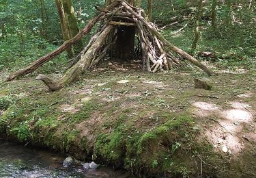
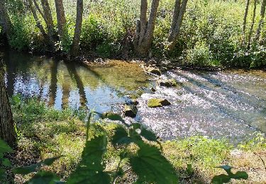
28 km | 35 km-effort
Moulin de Pray
gr1346
Gebruiker
Lengte
14 km
Max. hoogte
140 m
Positief hoogteverschil
257 m
Km-Effort
17,4 km
Min. hoogte
15 m
Negatief hoogteverschil
257 m
Boucle
Ja
Datum van aanmaak :
2019-05-07 00:25:44.037
Laatste wijziging :
2019-05-07 00:25:44.037
--
Moeilijkheid : Medium
Gratisgps-wandelapplicatie
Over ons
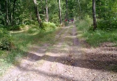
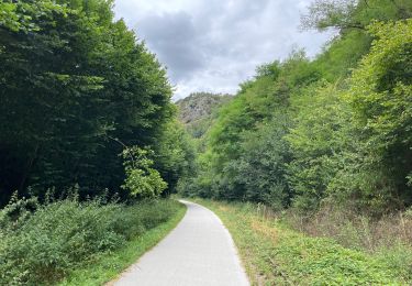
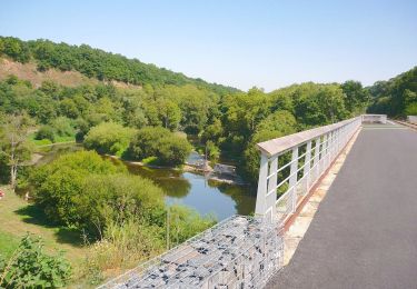
Tocht Stappen van 14 km beschikbaar op Normandië, Calvados, Montillières-sur-Orne. Deze tocht wordt voorgesteld door gr1346.
POI's
Plaatsbepaling
Land:
France
Regio :
Normandië
Departement/Provincie :
Calvados
Gemeente :
Montillières-sur-Orne
Locatie:
Trois-Monts
Vertrek:(Dec)
Vertrek:(UTM)
684321 ; 5436011 (30U) N.
Opmerkingen
Wandeltochten in de omgeving
curcy trois monts
Mountainbike
Medium
(1)
Montillières-sur-Orne,
Normandië,
Calvados,
France
1h 59min
Ja
COUDRAY 20 KM
Stappen
Moeilijk
(2)
Maizet,
Normandië,
Calvados,
France
19,8 km | 25 km-effort
5h 26min
Ja
Xtrem Vtt Normandie 2013 - Amayé Sur Orne
Mountainbike
Moeilijk
Amayé-sur-Orne,
Normandië,
Calvados,
France
45 km | 57 km-effort
2h 49min
Ja
reco mouss 27 12 13
Lopen
Heel gemakkelijk
(1)
Mutrécy,
Normandië,
Calvados,
France
5,7 km | 7,6 km-effort
1h 59min
Neen
ouffi
Stappen
Moeilijk
(1)
Ouffières,
Normandië,
Calvados,
France
10 km | 12,7 km-effort
2h 34min
Ja
Voie verte suisse normande
Wegfiets
Gemakkelijk
Montillières-sur-Orne,
Normandië,
Calvados,
France
47 km | 53 km-effort
4h 14min
Ja
Moulin de Pray et Pont de Brie
Te voet
Gemakkelijk
Grimbosq,
Normandië,
Calvados,
France
4,3 km | 4,9 km-effort
1h 6min
Neen
Forêts_de_Cinglais_et_de_Grimbosq
Mountainbike
Medium
Amayé-sur-Orne,
Normandië,
Calvados,
France
30 km | 35 km-effort
2h 18min
Ja