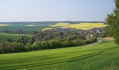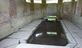

Circuit de Bercenay-en-Othe

tracegps
Gebruiker

Lengte
27 km

Max. hoogte
306 m

Positief hoogteverschil
369 m

Km-Effort
32 km

Min. hoogte
168 m

Negatief hoogteverschil
371 m
Boucle
Ja
Datum van aanmaak :
2014-12-10 00:00:00.0
Laatste wijziging :
2014-12-10 00:00:00.0
1h30
Moeilijkheid : Gemakkelijk

Gratisgps-wandelapplicatie
Over ons
Tocht Fiets van 27 km beschikbaar op Grand Est, Aube, Bercenay-en-Othe. Deze tocht wordt voorgesteld door tracegps.
Beschrijving
Circuit proposé par l'office de Tourisme du Pays d'Othe, vallée de la Vanne et le Cyclo Club Othéen. Départ de l'église de Bercenay-en-Othe. Retrouvez le circuit a télécharger sur le site de l'office de tourisme du Pays d'Othe, vallée de la Vanne.
Plaatsbepaling
Land:
France
Regio :
Grand Est
Departement/Provincie :
Aube
Gemeente :
Bercenay-en-Othe
Locatie:
Unknown
Vertrek:(Dec)
Vertrek:(UTM)
566209 ; 5339834 (31U) N.
Opmerkingen
Wandeltochten in de omgeving
Le chemin du patrimoine du Valdreux


Stappen
Heel gemakkelijk
(1)
Chennegy,
Grand Est,
Aube,
France

8,6 km | 10,5 km-effort
1h 57min
Ja
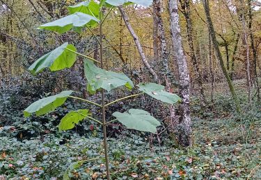
Vauchassis Bercenay


Stappen
Moeilijk
Vauchassis,
Grand Est,
Aube,
France

9,6 km | 12,3 km-effort
2h 44min
Ja
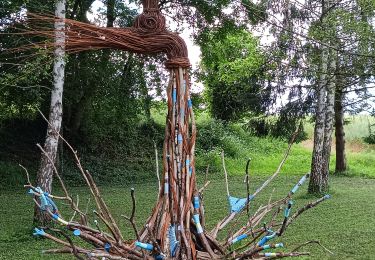
Vauchassis Eaux Puiseaux Auxon Joigny Javernant Vauchassis


Elektrische fiets
Gemakkelijk
Vauchassis,
Grand Est,
Aube,
France

49 km | 57 km-effort
4h 26min
Ja
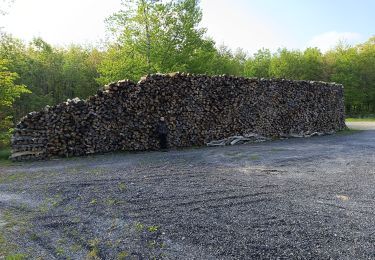
Randonnée Bucey 23 04 2024


Stappen
Moeilijk
Vauchassis,
Grand Est,
Aube,
France

10,5 km | 13,4 km-effort
3h 5min
Ja
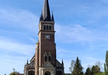
Balade VAE Pays d Othe


Elektrische fiets
Heel gemakkelijk
Vauchassis,
Grand Est,
Aube,
France

56 km | 66 km-effort
5h 15min
Ja
Balade Forêt communale de Vauchassis


Stappen
Medium
Vauchassis,
Grand Est,
Aube,
France

7,5 km | 9,1 km-effort
2h 26min
Ja
Vauchassis Bercenay Vauchassis


Stappen
Moeilijk
Vauchassis,
Grand Est,
Aube,
France

10,3 km | 13 km-effort
3h 2min
Ja
Randonnée Grands Bois Vauchassis


Stappen
Medium
Vauchassis,
Grand Est,
Aube,
France

9,7 km | 12 km-effort
2h 51min
Ja


 SityTrail


