

GR_347_AB_02_Fougerets_St-Laurent-Oust_20190324

patrickdanilo
Gebruiker

Lengte
20 km

Max. hoogte
99 m

Positief hoogteverschil
302 m

Km-Effort
24 km

Min. hoogte
9 m

Negatief hoogteverschil
352 m
Boucle
Neen
Datum van aanmaak :
2019-05-06 23:17:57.242
Laatste wijziging :
2022-12-14 13:16:17.96
5h20
Moeilijkheid : Gemakkelijk

Gratisgps-wandelapplicatie
Over ons
Tocht Stappen van 20 km beschikbaar op Bretagne, Morbihan, Les Fougerêts. Deze tocht wordt voorgesteld door patrickdanilo.
Beschrijving
Randonnée Marche de 20 km à découvrir à Bretagne, Morbihan, Les Fougerêts. Cette randonnée est proposée par patrickdanilo.
Plaatsbepaling
Land:
France
Regio :
Bretagne
Departement/Provincie :
Morbihan
Gemeente :
Les Fougerêts
Locatie:
Unknown
Vertrek:(Dec)
Vertrek:(UTM)
561648 ; 5287832 (30T) N.
Opmerkingen
Wandeltochten in de omgeving
Circuit des Landes


Te voet
Gemakkelijk
Les Fougerêts,
Bretagne,
Morbihan,
France

13,9 km | 16,6 km-effort
3h 46min
Ja
Les Fougerêts


Stappen
Heel gemakkelijk
Les Fougerêts,
Bretagne,
Morbihan,
France

13,9 km | 15,9 km-effort
4h 22min
Ja

Saint Vincent sur Oust


Stappen
Gemakkelijk
Saint-Vincent-sur-Oust,
Bretagne,
Morbihan,
France

22 km | 26 km-effort
5h 25min
Ja

Circuit entre Marais et Chapelles - Bains-sur-Oust


Stappen
Zeer moeilijk
Bains-sur-Oust,
Bretagne,
Ille-et-Vilaine,
France

16,5 km | 18,9 km-effort
4h 4min
Ja
213- rando de Peillac du côté de la Chapelle Saint Julien


Stappen
Gemakkelijk
Peillac,
Bretagne,
Morbihan,
France

15,4 km | 17,8 km-effort
3h 25min
Ja
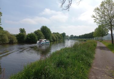
De La Gacilly à Josselin


Wegfiets
Medium
La Gacilly,
Bretagne,
Morbihan,
France

56 km | 62 km-effort
2h 8min
Neen

13.09.2019 - DES Fougerets à Glénac.Corrigé


Stappen
Moeilijk
Les Fougerêts,
Bretagne,
Morbihan,
France

29 km | 34 km-effort
8h 33min
Ja
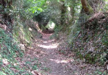
La GACILLY


Stappen
Gemakkelijk
La Gacilly,
Bretagne,
Morbihan,
France

12,4 km | 15,3 km-effort
3h 10min
Ja


 SityTrail


