


9,5 km | 13,3 km-effort

Gebruiker


Gratisgps-wandelapplicatie
 SityTrail
IGN / Geografische instituten
SityTrail World
De wereld gaat voor u open
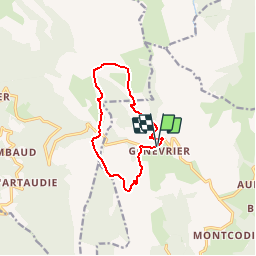
Tocht Stappen van 10 km beschikbaar op Auvergne-Rhône-Alpes, Puy-de-Dôme, Saint-Anthème. Deze tocht wordt voorgesteld door tracegps.
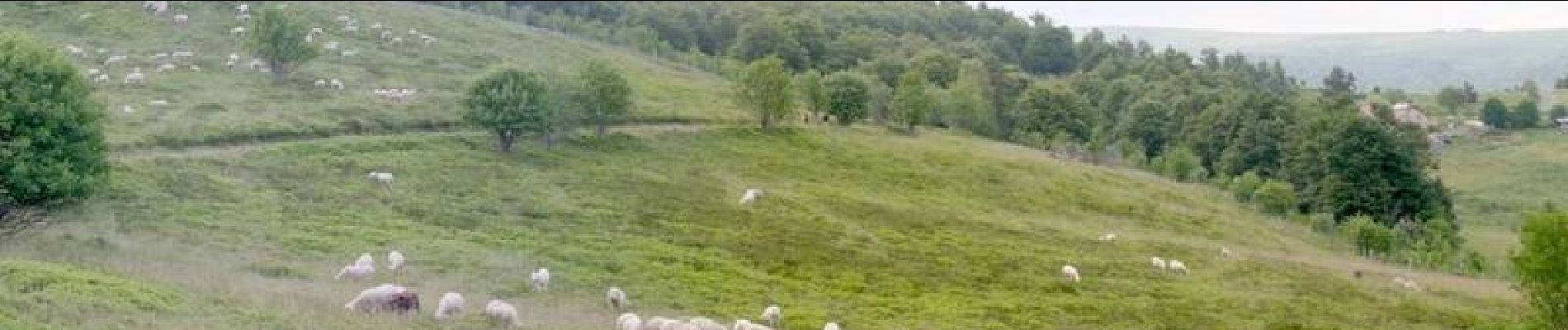
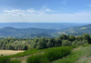
Circuit proposé par le Parc Naturel Régional Livradois-Forez . Départ du parking des jasseries du Coq noir à Saint-Anthème. Accès au départ de Valcivières, par la D 106 vers Saint-Anthème. Continuer sur 2 km après le col des Supeyres. De SaintAnthème, monter la D 139, puis la D 106 sur 3,5 km direction Valcivières. Sur ces hauteurs au climat si rude, les jasseries entretiennent la mémoire de tout un mode de vie pastorale. Retrouvez le circuit et son descriptif sur le site de la randonnée dans le Puy-de-Dôme


Stappen

Stappen

Te voet

Te voet

Paard

Stappen
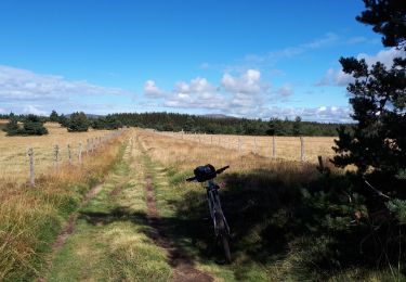
Mountainbike
Stappen
Stappen