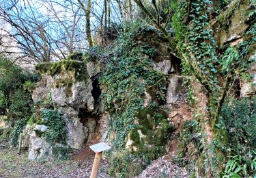
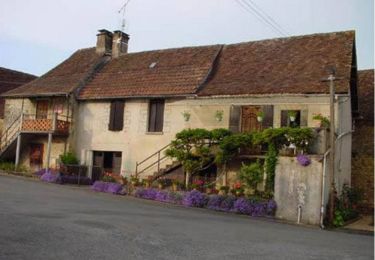
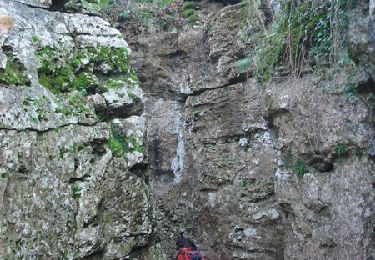
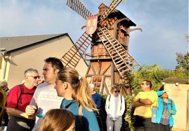
Tocht Mountainbike Preyssac-d'Excideuil - Boucle du tacot à Preyssac d'Excideuil - Photo

Boucle du tacot à Preyssac d'Excideuil

 tracegps
tracegps

Gebruiker

© OpenStreetMap contributors
Lengte
Lengte
7,9 km
Max. hoogte
Max. hoogte
326 m
Positief hoogteverschil
126 m
Km-Effort
Km-Effort  
9,6 km
Min. hoogte
Min. hoogte
245 m
Negatief hoogteverschil
129 m
Boucle
Boucle
Ja
Datum van aanmaak :
2014-12-10 00:00:00.0
Laatste wijziging :
2014-12-10 00:00:00.0

(0 Bericht)

Mountainbike
Mountainbike
1h00
Moeilijkheid : Gemakkelijk

Scan deze QR-code om de tocht te openen in de SityTrail-applicatie

Gratisgps-wandelapplicatie

Logo SityTrail SityTrail

IGN / Geografische instituten

SityTrail uit de App Store downloaden SityTrail uit Google Play downloaden

Logo SityTrail SityTrail World

De wereld gaat voor u open

SityTrail uit de App Store downloaden SityTrail uit Google Play downloaden SityTrail op Huawei AppGallery downloaden

Over ons

Tocht Mountainbike van 7,9 km beschikbaar op Nieuw-Aquitanië, Dordogne, Preyssac-d'Excideuil. Deze tocht wordt voorgesteld door tracegps.

Beschrijving

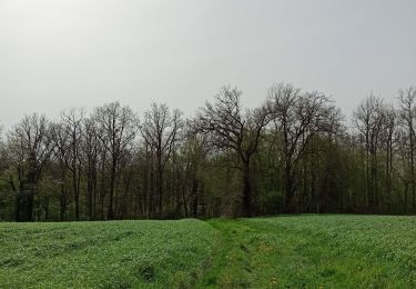
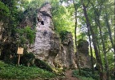
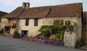
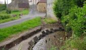
Circuit proposé par le comité d'animation touristique et culturelle du Pays de Lanouaille. Départ place de l’église au clocher-mur du XIIIème siècle. Ancienne gare du « tacot » qui va être restaurée par la commune. Le « tacot » était un petit train qui parcourut la ligne Périgueux-Saint-Yrieix-la-Perche de 1887 à 1949. L’ancienne voie fut aménagée en route ou chemin ou achetée par des particuliers. Le circuit emprunte aussi une ancienne route rectiligne dite « Napoléon » (Limoges Cahors) peut-être d’origine romaine à travers bois. Retour en surplomb du village et son lavoir à « banches » de pierre.

Hoogteprofiel

Foto's

Plaatsbepaling

Land:
France
Regio :
Nieuw-Aquitanië
Departement/Provincie :
Dordogne
Gemeente :
Preyssac-d'Excideuil
Locatie:
Unknown
Vertrek:(Dec)
Vertrek:(UTM)
351376 ; 5022193 (31T) N.

Wandeltochten in de omgeving

Tocht Stappen Saint-Raphaël - St Raphaël variante Pontillau Qincallou10km - Photo
Stappen
YV24

Stappen

Gemakkelijk
(1)
Saint-Raphaël, Nieuw-Aquitanië, Dordogne, France
10,2 km | 14 km-effort
2h 59min
Ja
Tocht Stappen Excideuil - boucle spéciale Excideuil - Photo
Stappen
NICOLEROBERT

Stappen

Medium
Excideuil, Nieuw-Aquitanië, Dordogne, France
9,3 km | 11,5 km-effort
2h 38min
Ja
Tocht Stappen Preyssac-d'Excideuil - Boucle du tacot à Preyssac d'Excideuil - Photo
Stappen
tracegps

Stappen

Gemakkelijk
Preyssac-d'Excideuil, Nieuw-Aquitanië, Dordogne, France
7,9 km | 9,6 km-effort
2h 0min
Ja
Tocht Stappen Excideuil - Sentier Karstique les Roches Enchantées - Excideuil - Photo
Stappen
tracegps

Stappen

Medium
(2)
Excideuil, Nieuw-Aquitanië, Dordogne, France
9,4 km | 11,2 km-effort
2h 45min
Ja
Tocht Stappen Génis - Rand'Auvezere - Photo
Stappen
NICOLEROBERT

Stappen

Moeilijk
Génis, Nieuw-Aquitanië, Dordogne, France
11,4 km | 15,9 km-effort
3h 8min
Ja
Tocht Stappen Anlhiac - petite boucle - Photo
Stappen
joebarlille

Stappen

Medium
Anlhiac, Nieuw-Aquitanië, Dordogne, France
8,4 km | 10,7 km-effort
1h 42min
Neen
Tocht Stappen Excideuil - Boucle d'Excideuil - Photo
Stappen
CC.RIDER

Stappen

Moeilijk
Excideuil, Nieuw-Aquitanië, Dordogne, France
11,7 km | 14,3 km-effort
3h 14min
Ja
Tocht Te voet Excideuil - Excideuil les chemins des meuniers - Photo
Te voet
CC.RIDER

Te voet

Gemakkelijk
Excideuil, Nieuw-Aquitanië, Dordogne, France
12 km | 14,7 km-effort
3h 20min
Ja
Tocht Stappen Anlhiac - dudule - Photo
Stappen
bidnick

Stappen

Heel gemakkelijk
Anlhiac, Nieuw-Aquitanië, Dordogne, France
5,7 km | 7,4 km-effort
1h 5min
Neen


Sluiten
Mijn abonnementen