


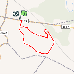

6,9 km | 8,5 km-effort


Sport - Santé - Sénior


Gratisgps-wandelapplicatie
 SityTrail
IGN / Geografische instituten
SityTrail World
De wereld gaat voor u open
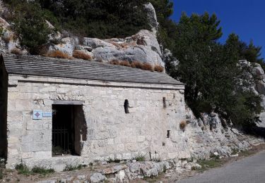
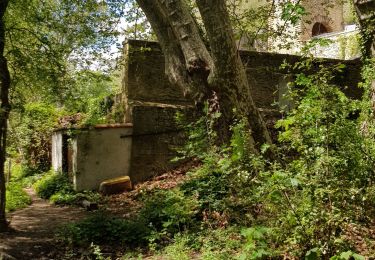
Tocht Stappen van 6,9 km beschikbaar op Provence-Alpes-Côte d'Azur, Bouches-du-Rhône, Saint-Cannat. Deze tocht wordt voorgesteld door Retraite sportive lambescaine provencale.
marche
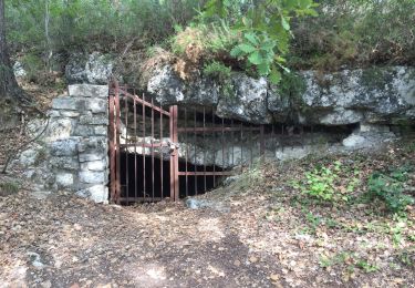
Stappen
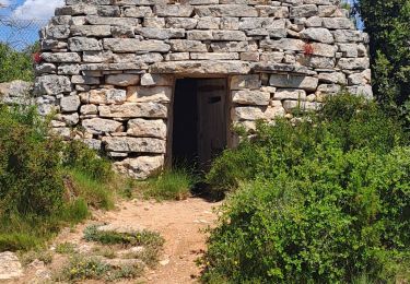
Stappen

Stappen
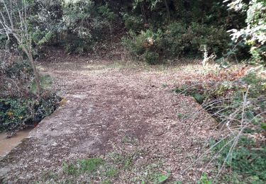
Stappen
Stappen
Stappen
Stappen
Wegfiets
Noords wandelen