


7 km | 8,7 km-effort


Gebruiker


Gratisgps-wandelapplicatie
 SityTrail
IGN / Geografische instituten
SityTrail World
De wereld gaat voor u open
Tocht Stappen van 9,3 km beschikbaar op Occitanië, Hautes-Pyrénées, Siarrouy. Deze tocht wordt voorgesteld door tracegps.
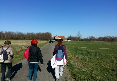
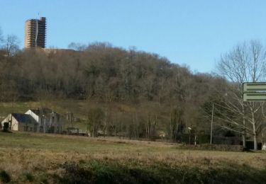
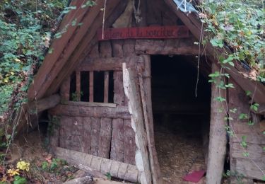
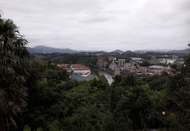
Circuit proposé par la communauté de communes de Vic-Montaner et l'Office de Tourisme de Vic-Montaner. Départ près du foyer rural de Siarrouy. Cette agréable balade d'abord en plaine puis en forêts et collines vous offrira un panorama depuis le sommet de la colline, la vallée de la Géline, et les maisons pittoresques de Talazac et de Siarrouy. Retrouvez le circuit et son descriptif sur le site de l'office de Tourisme de Vic-Montaner.


Te voet

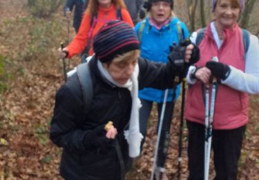
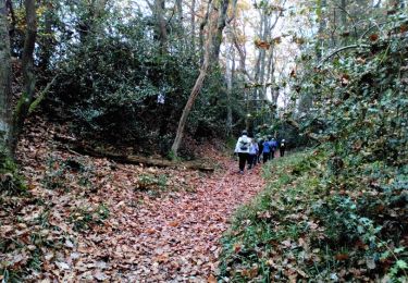
Stappen
Stappen
Stappen
Te voet
Noords wandelen
Noords wandelen

Mountainbike
Stappen