Tocht Stappen Vignols - Le Bert - Vignols - Pays Vézère Auvézère - Photo

Le Bert - Vignols - Pays Vézère Auvézère

 tracegps
tracegps

Gebruiker

© OpenStreetMap contributors
Lengte
Lengte
8,6 km
Max. hoogte
Max. hoogte
391 m
Positief hoogteverschil
220 m
Km-Effort
Km-Effort  
11,6 km
Min. hoogte
Min. hoogte
250 m
Negatief hoogteverschil
222 m
Boucle
Boucle
Ja
Datum van aanmaak :
2014-12-10 00:00:00.0
Laatste wijziging :
2014-12-10 00:00:00.0

(1 Bericht)

Stappen
Stappen
2h30
Moeilijkheid : Medium

Scan deze QR-code om de tocht te openen in de SityTrail-applicatie

Gratisgps-wandelapplicatie

Logo SityTrail SityTrail

IGN / Geografische instituten

SityTrail uit de App Store downloaden SityTrail uit Google Play downloaden

Logo SityTrail SityTrail World

De wereld gaat voor u open

SityTrail uit de App Store downloaden SityTrail uit Google Play downloaden SityTrail op Huawei AppGallery downloaden

Over ons

Tocht Stappen van 8,6 km beschikbaar op Nieuw-Aquitanië, Corrèze, Vignols. Deze tocht wordt voorgesteld door tracegps.

Beschrijving

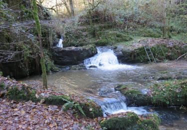
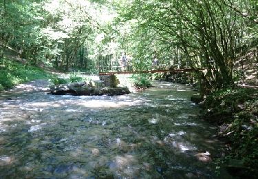
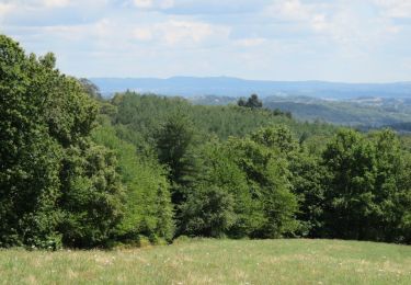
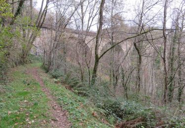
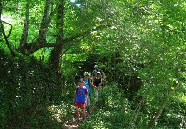
Le Bert - Vignols - Pays Vézère Auvézère. Passer devant les anciennes carrières d’ardoise (site Natura 2000). A voir sur le circuit, le plus haut des 7 Viaducs, ouvrage remarquable construit en 1872. Il possède 8 arches de 25 m pour une longueur de 285 m et une hauteur de 58 m. Téléchargez la fiche du circuit sur le site du Conseil Général de la Corrèze. Renseignements : Mairie de Vignols 05.55.25.81.99

Hoogteprofiel

Foto's

Plaatsbepaling

Land:
France
Regio :
Nieuw-Aquitanië
Departement/Provincie :
Corrèze
Gemeente :
Vignols
Locatie:
Unknown
Vertrek:(Dec)
Vertrek:(UTM)
373753 ; 5019690 (31T) N.

Opmerkingen

Gelieve in te loggen om een commentaar of een beoordeling achter te laten


Wandeltochten in de omgeving

Tocht Stappen Lascaux - La Tine - Lascaux - Photo
Stappen
houbart

Stappen

Medium
(1)
Lascaux, Nieuw-Aquitanië, Corrèze, France
8,3 km | 11,9 km-effort
2h 35min
Ja
Tocht Stappen Voutezac - Ayen-160623 - Ceyrat-FontaineCrozes - Photo
Stappen
randodan

Stappen

Medium
Voutezac, Nieuw-Aquitanië, Corrèze, France
7,5 km | 10,7 km-effort
2h 35min
Ja
Tocht Stappen Voutezac - Les coteaux de Vertougit - Voutezac - Photo
Stappen
tracegps

Stappen

Medium
Voutezac, Nieuw-Aquitanië, Corrèze, France
10,9 km | 15,3 km-effort
3h 30min
Ja
Tocht Stappen Voutezac - La fontaine des Crozes - Voutezac - Photo
Stappen
tracegps

Stappen

Moeilijk
(1)
Voutezac, Nieuw-Aquitanië, Corrèze, France
11,8 km | 16,7 km-effort
3h 0min
Ja
Tocht Stappen Vignols - Vignols - La sagne - Photo
Stappen
houbart

Stappen

Medium
Vignols, Nieuw-Aquitanië, Corrèze, France
7,8 km | 10,5 km-effort
2h 16min
Ja
Tocht Stappen Concèze - Concèze- Les vignes - Photo
Stappen
houbart

Stappen

Gemakkelijk
(1)
Concèze, Nieuw-Aquitanië, Corrèze, France
6,6 km | 8,8 km-effort
2h 6min
Ja
Tocht Stappen Vignols - Vignols- Les Bardissières - Photo
Stappen
houbart

Stappen

Gemakkelijk
Vignols, Nieuw-Aquitanië, Corrèze, France
3,2 km | 4,9 km-effort
1h 3min
Ja
Tocht Paard Saint-Solve - Les crêtes - Saint Solve - Pays Vézère Auvézère  - Photo
Paard
tracegps

Paard

Medium
Saint-Solve, Nieuw-Aquitanië, Corrèze, France
9,7 km | 13,1 km-effort
1h 19min
Ja
Tocht Mountainbike Saint-Solve - Les crêtes - Saint Solve - Pays Vézère Auvézère  - Photo
Mountainbike
tracegps

Mountainbike

Medium
Saint-Solve, Nieuw-Aquitanië, Corrèze, France
9,7 km | 13,1 km-effort
45min
Ja


Sluiten
Mijn abonnementen