


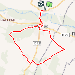

17,3 km | 21 km-effort


Gebruiker


Gratisgps-wandelapplicatie
 SityTrail
IGN / Geografische instituten
SityTrail World
De wereld gaat voor u open
Tocht Stappen van 9 km beschikbaar op Île-de-France, Seine-et-Marne, Dormelles. Deze tocht wordt voorgesteld door randodan.
Exécution plan "B".<br>
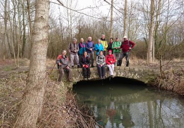
Pour tester mon genou tout juste réparé, un petit tour de 9 km : circuit prévu comme plan "B" en cas de pluie un jour de Pot-au-feu.

Stappen
Te voet
Te voet

Noords wandelen
Stappen
Stappen
Stappen

Stappen
Noords wandelen