18,8 km | 24 km-effort
Groussan - Lectoure
tracegps
Gebruiker
Lengte
4 km
Max. hoogte
187 m
Positief hoogteverschil
136 m
Km-Effort
5,8 km
Min. hoogte
101 m
Negatief hoogteverschil
136 m
Boucle
Ja
Datum van aanmaak :
2014-12-10 00:00:00.0
Laatste wijziging :
2014-12-10 00:00:00.0
1h00
Moeilijkheid : Medium
Gratisgps-wandelapplicatie
Over ons
Tocht Stappen van 4 km beschikbaar op Occitanië, Gers, Lectoure. Deze tocht wordt voorgesteld door tracegps.
Beschrijving
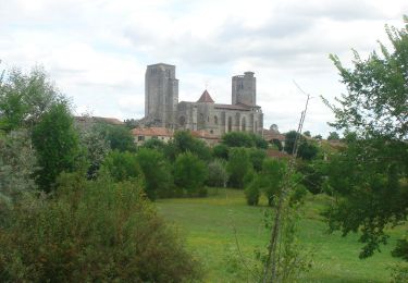
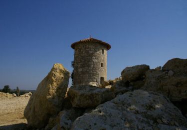
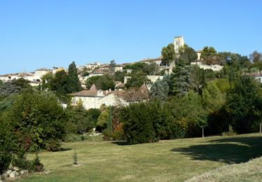
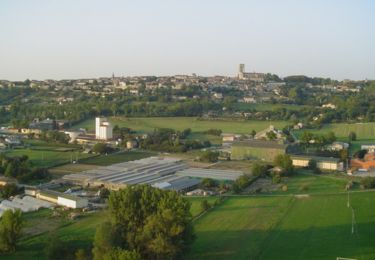
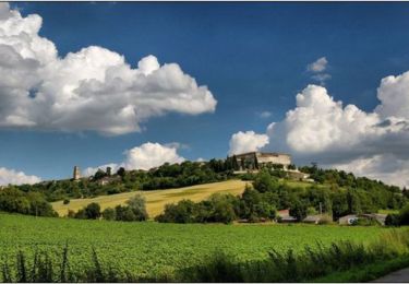
La vallée du Gers, La chapelle de St Gény… Circuit numérisé par la Communauté de Communes de la Lomagne Gersoise.
Plaatsbepaling
Land:
France
Regio :
Occitanië
Departement/Provincie :
Gers
Gemeente :
Lectoure
Locatie:
Unknown
Vertrek:(Dec)
Vertrek:(UTM)
309567 ; 4866814 (31T) N.
Opmerkingen
Wandeltochten in de omgeving
CC_Velay_ED_20_Lectoure_Castelnau-Auvignon_20080820
Stappen
Medium
Lectoure,
Occitanië,
Gers,
France
24 km | 30 km-effort
5h 45min
Neen
Lectoure - La Romieu - Chemin de Compostelle
Stappen
Zeer moeilijk
Lectoure,
Occitanië,
Gers,
France
19,6 km | 24 km-effort
7h 10min
Neen
32-05-Au Cœur de Gascogne Auch-24km-102-5607-
Stappen
Medium
Lectoure,
Occitanië,
Gers,
France
24 km | 29 km-effort
6h 10min
Neen
espazot condom 13.7.2017
Stappen
Heel gemakkelijk
Lectoure,
Occitanië,
Gers,
France
22 km | 27 km-effort
4h 50min
Neen
Lac des trois vallées - Lectoure
Stappen
Medium
(1)
Lectoure,
Occitanië,
Gers,
France
14,2 km | 18,3 km-effort
3h 30min
Ja
Les Galis - Lectoure
Stappen
Moeilijk
Lectoure,
Occitanië,
Gers,
France
17,9 km | 23 km-effort
4h 30min
Ja
Navère - Lectoure
Stappen
Medium
Lectoure,
Occitanië,
Gers,
France
11,3 km | 14,9 km-effort
3h 0min
Ja