


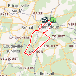

12,6 km | 15,8 km-effort

Gebruiker


Gratisgps-wandelapplicatie
 SityTrail
IGN / Geografische instituten
SityTrail World
De wereld gaat voor u open
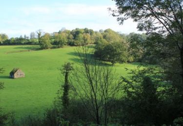
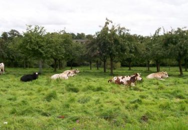
Tocht Stappen van 9 km beschikbaar op Normandië, Manche, Chanteloup. Deze tocht wordt voorgesteld door tracegps.
Départ de la place de la mairie de Chanteloup vers le village Duprey puis le Mesnil et retour par le Village Bouillon et Le Gaillarbois.


Stappen
Paardrijden
Mountainbike
Stappen
Stappen
Stappen
Stappen
Stappen
Stappen