


24 km | 25 km-effort

Gebruiker


Gratisgps-wandelapplicatie
 SityTrail
IGN / Geografische instituten
SityTrail World
De wereld gaat voor u open
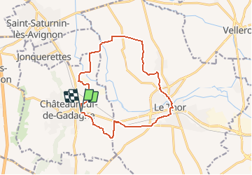
Tocht Fiets van 14,6 km beschikbaar op Provence-Alpes-Côte d'Azur, Vaucluse, Châteauneuf-de-Gadagne. Deze tocht wordt voorgesteld door tracegps.
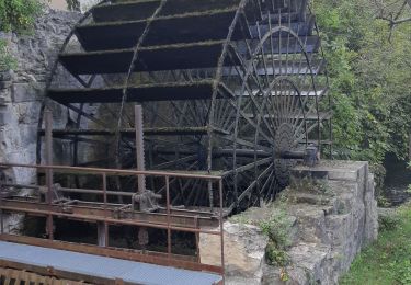
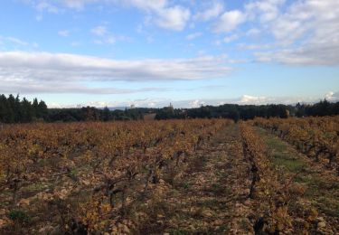
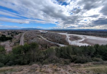
Circuit Vélo - Entre vignobles et vergers au pays des Sorgues - Châteauneuf de Gadagne Du village perché de Châteauneuf de Gadagne, cette promenade vous entraînera au pied de la colline de Thouzon, et à la découverte de la ville du Thor. De nombreux bras de Sorgue partageront cette balade avec vous, et vous apporteront leur fraicheur. Retrouvez plus d’informations et téléchargez la fiche du circuit sur le site de la Provence en vélo. Tous les circuits vélo du Vaucluse sur le site www.provence-a-velo.fr.

Fiets
Hybride fiets
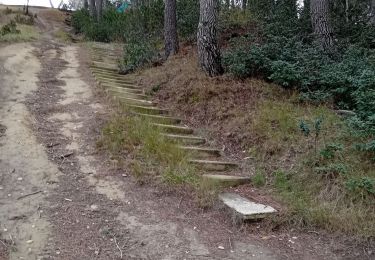
Stappen
Stappen
Stappen
Stappen
Stappen
Stappen
Stappen
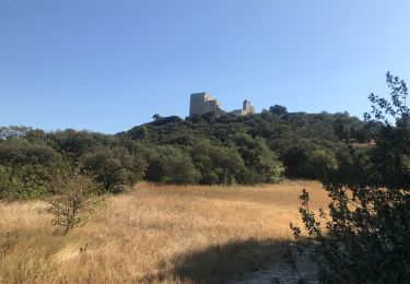
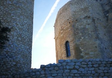
thor