14,2 km | 15,4 km-effort
Les Marais - Saint Martin de Bréhal
tracegps
Gebruiker
Lengte
10 km
Max. hoogte
12 m
Positief hoogteverschil
35 m
Km-Effort
10,5 km
Min. hoogte
3 m
Negatief hoogteverschil
36 m
Boucle
Ja
Datum van aanmaak :
2014-12-10 00:00:00.0
Laatste wijziging :
2014-12-10 00:00:00.0
2h30
Moeilijkheid : Medium
Gratisgps-wandelapplicatie
Over ons
Tocht Stappen van 10 km beschikbaar op Normandië, Manche, Bréhal. Deze tocht wordt voorgesteld door tracegps.
Beschrijving
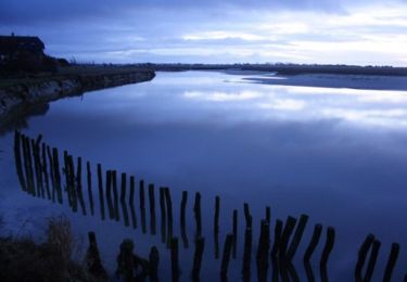
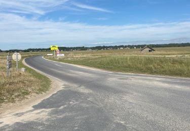
Départ du Camping de la Vanlée. Circuit sans aucune difficulté; passage près des ruines d'un moulin (moulin Hutrel)
Plaatsbepaling
Land:
France
Regio :
Normandië
Departement/Provincie :
Manche
Gemeente :
Bréhal
Locatie:
Unknown
Vertrek:(Dec)
Vertrek:(UTM)
605260 ; 5418181 (30U) N.
Opmerkingen
Wandeltochten in de omgeving
brehal 1
Mountainbike
Heel gemakkelijk
Bréhal,
Normandië,
Manche,
France
30 km | 35 km-effort
2h 45min
Ja
Balade Sarah samedi
Paardrijden
Medium
Lingreville,
Normandië,
Manche,
France
19,7 km | 21 km-effort
45min
Ja
Le Havre de la Vanlée - Bricqueville sur Mer
Stappen
Medium
Bricqueville-sur-Mer,
Normandië,
Manche,
France
10 km | 10,6 km-effort
2h 0min
Ja
Les Villages - St Martin Le Vieux - Bréhal
Stappen
Medium
Bréhal,
Normandië,
Manche,
France
6,7 km | 7,3 km-effort
1h 45min
Ja
Le Chemin du Bois - Bréhal
Stappen
Medium
Bréhal,
Normandië,
Manche,
France
5,8 km | 6,6 km-effort
1h 45min
Ja
pont l eveque
Stappen
Zeer moeilijk
Lingreville,
Normandië,
Manche,
France
154 km | 183 km-effort
6h 2min
Neen
Balade Sarah 2 eme jour
Paardrijden
Medium
Lingreville,
Normandië,
Manche,
France
25 km | 27 km-effort
54min
Ja
20070628Bernesq
Fiets
Heel gemakkelijk
Lingreville,
Normandië,
Manche,
France
75 km | 85 km-effort
Onbekend
Neen